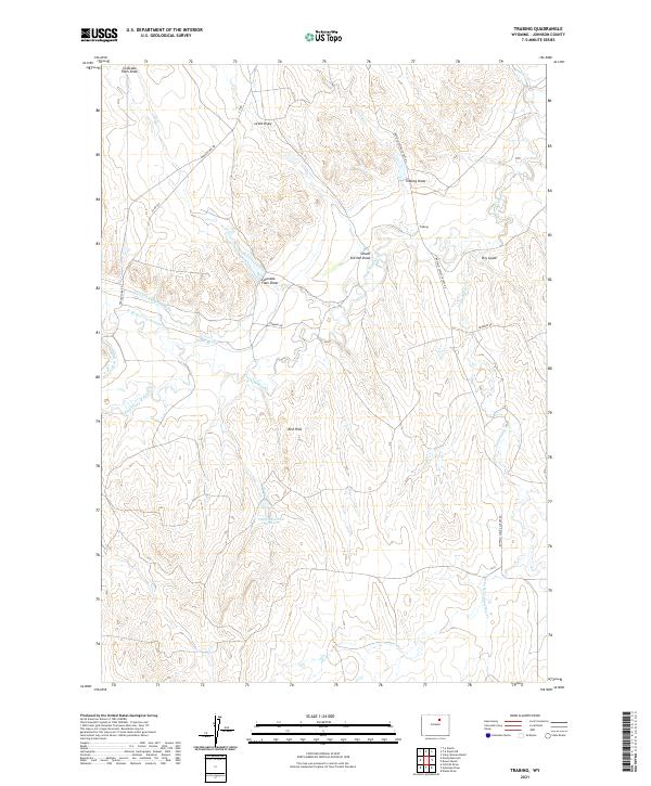
2021 Map of Trabing
USGS Topo · Published 2021About this map
The high plains of Johnson County are defined by an intricate network of water management and natural drainages centered around the small settlement of Trabing. This modern survey reveals how the arid landscape is shaped by human engineering, featuring significant irrigation infrastructure such as the Mitchell and Long Ditch, Smith Ditch, and Devoe Ditch Number 1. These systems draw from the serpentine path of Crazy Woman Cr and its various branches, including the N Fork Crazy Woman Cr and S Fork Crazy Woman Cr. The topography is marked by distinct geological features like the Red Hills and several significant draws, including Colorado Flats Draw, Lewis Draw, and School Section Draw. For researchers, the map provides a clear look at the contemporary road network, including the Buffalo Sussex Cutoff Rd and Middle Fork Rd, which link the various reservoirs and ranching lands that characterize this part of Wyoming.
Find a feature on this map
27 named features on this map. Tap any name to fly to it.
Don’t see what you’re looking for? This feature index may not catch every label — zoom into the map to look around manually.
Map Details
Editions of this 2021 Trabing Map
This is the sole edition of this map. No revisions or reprints were ever made.
Other maps of this area

1900 · Fort McKinney
USGS Topo · 1:125,000

1903 · Fort McKinney
USGS Topo · 1:125,000

1955 · Sheridan
USGS Topo · 1:250,000

1955 · Arminto
USGS Topo · 1:250,000

1958 · Sheridan
USGS Topo · 1:250,000

1958 · Arminto
USGS Topo · 1:250,000

1961 · Antelope Draw
USGS Topo · 1:24,000

1961 · Schlict Draw
USGS Topo · 1:24,000

1961 · Elaine Draw
USGS Topo · 1:24,000

1962 · Sheridan
USGS Topo · 1:250,000