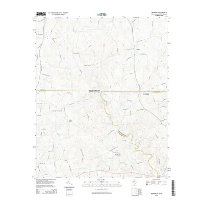
2014 Map of Tradesville
USGS Topo · Published 2014About this map
The Tradesville area in Lancaster County sits at the intersection of long-standing rural routes and local watercourses, just south of the North Carolina border. This landscape is defined by the headwaters and tributaries of the Lynches River, with Buffalo Cr and Lanes Cr carving out the local topography. The settlement pattern is anchored by crossroads communities and rural landmarks that reflect the area's social history, including Trinity, Stewart Crossroads, and Wolf Pond Cross Roads. Genealogists will find particular value in the presence of Starnes Cemetery and Tabernacle Cem, along with Trinity Church, which serve as physical markers of the region's early families. The network of local roads, such as Plyler Mill Rd and Walters Mill Rd, points to the historic importance of milling operations along these Piedmont streams.
Find a feature on this map
93 named features on this map. Tap any name to fly to it.
Don’t see what you’re looking for? This feature index may not catch every label — zoom into the map to look around manually.
Map Details
Editions of this 2014 Tradesville Map
This is the sole edition of this map. No revisions or reprints were ever made.
Other maps of this area

1941 · Spartanburg
USGS Topo · 1:250,000

1953 · Spartanburg
USGS Topo · 1:250,000

1960 · Spartanburg
USGS Topo · 1:250,000

1963 · Spartanburg
USGS Topo · 1:250,000

1964 · Spartanburg
USGS Topo · 1:250,000

1968 · Jefferson
USGS Topo · 1:24,000

1969 · Antioch
USGS Topo · 1:24,000
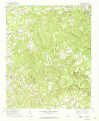
1969 · Taxahaw
USGS Topo · 1:24,000
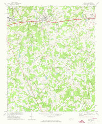
1970 · Wingate
USGS Topo · 1:24,000
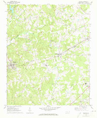
1970 · Waxhaw
USGS Topo · 1:24,000