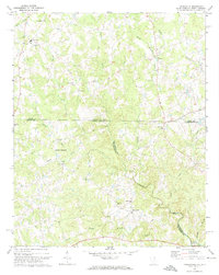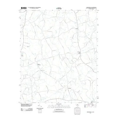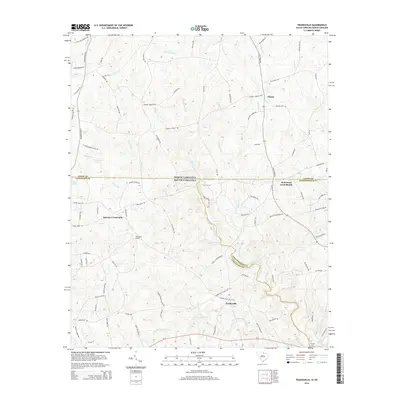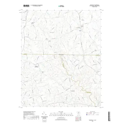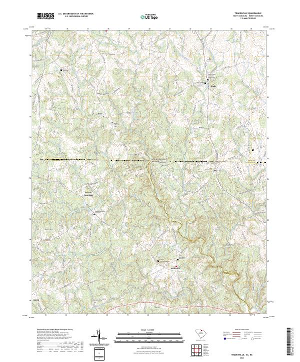
2024 Map of Tradesville
USGS Topo · Published 2024About this map
Tradesville and the surrounding borderlands of Lancaster County, South Carolina, are defined by a network of rural homesteads and historical burial grounds that trace family lineages back generations. The landscape is bisected by the North Carolina South Carolina state line, with the Lynches River and Polecat Creek carving through the terrain. Small community hubs like Stewart Crossroads and Trinity anchor the region, which is notably dense with ecclesiastical landmarks such as the Antioch Church Cem and the Tabernacle Church Graveyard.
Find a feature on this map
119 named features on this map. Tap any name to fly to it.
Don’t see what you’re looking for? This feature index may not catch every label — zoom into the map to look around manually.
Map Details
Editions of this 2024 Tradesville Map
This is the sole edition of this map. No revisions or reprints were ever made.
Historical Maps of Stewart Crossroads Through Time
6 maps found