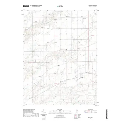
2019 Map of Trafalgar
USGS Topo · Published 2019About this map
The town of Trafalgar serves as a central hub for this portion of Johnson County, where the intersection of state and local roads connects small rural settlements like Samaria and Anita. The landscape is defined by the branching tributaries of the White River drainage, including S Prong Stotts Cr and Indian Cr, which carve through the terrain near local elevations like Turkey Hill and Pea Ridge. This modern survey documents a persistent agricultural pattern interspersed with numerous family and community burial grounds, such as Shiloh Cem and Watts Cem. Small-scale aviation is represented by Bronson Airport and Kephart Field, reflecting the continued utility of private airfields in the Indiana countryside. The map provides a detailed view of the township and range system, showing the precise layout of local routes like W Division Rd and W Pearl St as they navigate the area's many creek valleys.
Find a feature on this map
59 named features on this map. Tap any name to fly to it.
Don’t see what you’re looking for? This feature index may not catch every label — zoom into the map to look around manually.
Map Details
Editions of this 2019 Trafalgar Map
This is the sole edition of this map. No revisions or reprints were ever made.
Other maps of this area
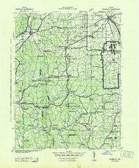
1942 · Franklin
USGS Topo · 1:125,000
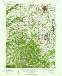
1947 · Franklin
USGS Topo · 1:62,500
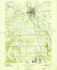
1948 · Franklin
USGS Topo · 1:24,000
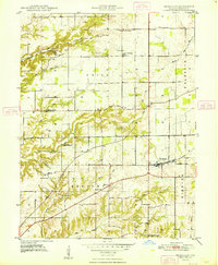
1948 · Trafalgar
USGS Topo · 1:24,000
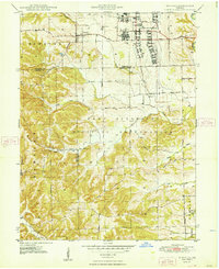
1948 · Nineveh
USGS Topo · 1:24,000
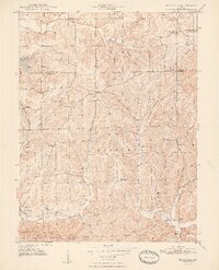
1948 · Fruitdale
USGS Topo · 1:24,000
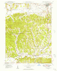
1948 · Morgantown
USGS Topo · 1:24,000
1950 · Morgantown
USGS Topo · 1:24,000
1950 · Franklin
USGS Topo · 1:62,500
1952 · Bargersville
USGS Topo · 1:24,000