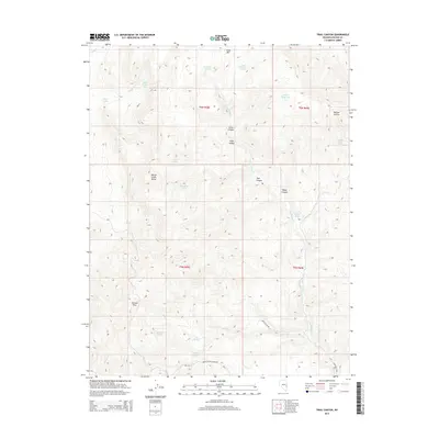
2014 Map of Trail Canyon
USGS Topo · Published 2014About this map
Wilson Creek Range dominates this portion of eastern Nevada, where high-altitude springs and canyons define the local geography. The map documents a network of vital water sources for the region, including Bailey Springs, Mahogany Spring, and Hammond Ranch Spring, alongside the man-made Adams Reservoir. These water points were historically essential for ranching operations and livestock movement through the high desert.
Find a feature on this map
32 named features on this map. Tap any name to fly to it.
Don’t see what you’re looking for? This feature index may not catch every label — zoom into the map to look around manually.
Map Details
Editions of this 2014 Trail Canyon Map
This is the sole edition of this map. No revisions or reprints were ever made.
Other maps of this area

1956 · Lund
USGS Topo · 1:250,000

1960 · Lund
USGS Topo · 1:250,000
1970 · Mt. Wilson
USGS Topo · 1:24,000

1970 · Parsnip Peak
USGS Topo · 1:24,000

1972 · Rosencrans Knolls
USGS Topo · 1:24,000

1972 · Buck Wash Well
USGS Topo · 1:24,000

1972 · Miller Canyon
USGS Topo · 1:24,000

1973 · Schoolmarm Basin
USGS Topo · 1:24,000

1973 · Horse Corral Pass
USGS Topo · 1:24,000

1973 · Atlanta
USGS Topo · 1:24,000