
1970 Map of Parsnip Peak
USGS Topo · Published 1973About this map
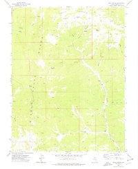
Wilson Creek Range dominates the topography of this high-altitude landscape, where reliable water sources were the primary anchor for human activity. In an arid environment defined by deep drainages like Bowling Wash and Coyote Wash, the concentration of named springs suggests a network of essential landmarks for early ranchers and travelers. The presence of Buckhorn Ranch in the northern portion of the quadrangle illustrates the isolated nature of cattle operations in this part of Lincoln County. Movement across this terrain was facilitated by a sparse network of jeep trails, connecting remote points such as Hulse Springs and Cole Spring. Notable geological and topographical landmarks including Parsnip Peak and the curiously named Throwout Knee Spring provide specific waypoints for those tracing the history of land use in this high desert region.
Find a feature on this map
28 named features on this map. Tap any name to fly to it.
Don’t see what you’re looking for? This feature index may not catch every label — zoom into the map to look around manually.
Map Details
Editions of this 1970 Parsnip Peak Map
2 editions found
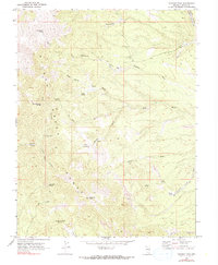
Other maps of this area

1956 · Lund
USGS Topo · 1:250,000

1960 · Lund
USGS Topo · 1:250,000
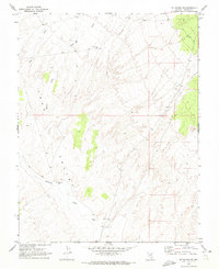
1970 · Mt. Wilson SW
USGS Topo · 1:24,000
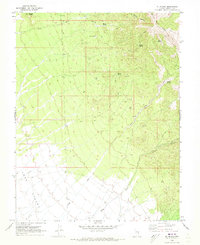
1970 · Mt. Wilson
USGS Topo · 1:24,000

1970 · Pierson Summit
USGS Topo · 1:24,000

1972 · Buck Wash Well
USGS Topo · 1:24,000
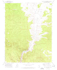
1972 · Eagle Valley Reservoir
USGS Topo · 1:24,000

1972 · Miller Canyon
USGS Topo · 1:24,000

1973 · Schoolmarm Basin
USGS Topo · 1:24,000
1973 · Trail Canyon
USGS Topo · 1:24,000