
1970 Map of Pierson Summit
USGS Topo · Published 1973About this map
Wilson Creek Range dominates this high-altitude landscape in Lincoln County, where the terrain centers on the namesake Pierson Summit. The map, based on 1969 aerial photography, reveals a remote area defined by its water sources and mining history. Several Mines are marked in the northern sections, suggesting a legacy of prospecting and resource extraction in these mountains. The scarcity of permanent settlements is offset by a network of Jeep Trail routes that connect critical water points across the arid slopes. These landmarks, including Tower Spring, Lower Tower Spring, and the uniquely named Coal Burner Spring, were vital for livestock and early travelers navigating the high basins. To the south, the Red Buttes provide a distinct geological contrast to the surrounding peaks, while Willow Spring serves as a lone landmark in the lower elevations.
Find a feature on this map
10 named features on this map. Tap any name to fly to it.
Don’t see what you’re looking for? This feature index may not catch every label — zoom into the map to look around manually.
Map Details
Editions of this 1970 Pierson Summit Map
This is the sole edition of this map. No revisions or reprints were ever made.
Other maps of this area

1885 · Pioche
USGS Topo · 1:250,000

1886 · Pioche
USGS Topo · 1:250,000

1921 · NW 1/4 Panaca
USGS Topo · 1:48,000

1953 · Pioche
USGS Topo · 1:24,000

1954 · Caliente
USGS Topo · 1:250,000

1956 · Lund
USGS Topo · 1:250,000

1959 · Caliente
USGS Topo · 1:250,000

1960 · Lund
USGS Topo · 1:250,000
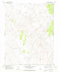
1970 · Mt. Wilson SW
USGS Topo · 1:24,000
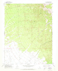
1970 · Mt. Wilson
USGS Topo · 1:24,000