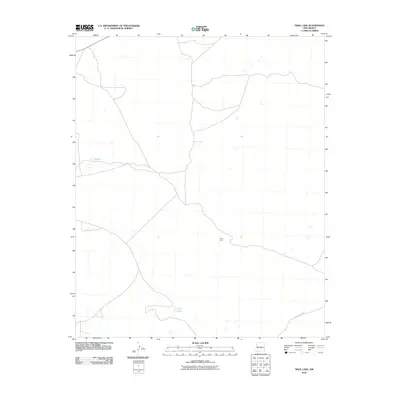
2010 Map of Trail Lake
USGS Topo · Published 2010About this map
Tusas Corral serves as a lone human waypoint in this high-desert landscape of Cibola County. The terrain is characterized by ephemeral water bodies and a sparse network of ranching roads, most notably County Rd-A076. The presence of Canteen Lake and Trail Lake underscores the vital importance of surface water management in this arid New Mexico region. These localized catchments represent the primary infrastructure for land use during the early twenty-first century, reflecting a continuity of ranching traditions in a territory where the natural topography dictates the pace of settlement and movement.
Find a feature on this map
4 named features on this map. Tap any name to fly to it.
Don’t see what you’re looking for? This feature index may not catch every label — zoom into the map to look around manually.
Map Details
Editions of this 2010 Trail Lake Map
This is the sole edition of this map. No revisions or reprints were ever made.
Other maps of this area

1954 · Saint Johns
USGS Topo · 1:250,000

1957 · Saint Johns
USGS Topo · 1:250,000

1958 · Saint Johns
USGS Topo · 1:250,000

1962 · Saint Johns
USGS Topo · 1:250,000
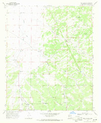
1967 · Tres Lagunas
USGS Topo · 1:24,000
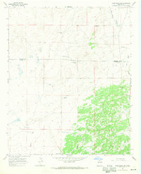
1967 · York Ranch SE
USGS Topo · 1:24,000

1967 · Adams Diggings
USGS Topo · 1:24,000

1967 · Blue Hills
USGS Topo · 1:24,000
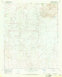
1967 · York Ranch
USGS Topo · 1:24,000

1967 · Veteado Mountain
USGS Topo · 1:24,000