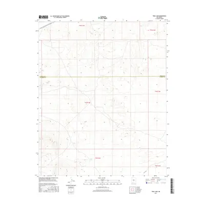
2017 Map of Trail Lake
USGS Topo · Published 2017About this map
Continental Divide National Scenic Trail winds through the northern portion of this high-altitude landscape, following the ridgelines along the border between Cibola and Catron Counties. The terrain is defined by ephemeral basins and small catchments, most notably Canteen Lake in the northwest and Trail Lake further south. This 2017 survey reflects the contemporary management of public lands, showing the sparse infrastructure of the region such as Co Rd A078 near the southeastern corner. The map primarily illustrates the complex topography and the Public Land Survey System grid across several townships, including t4n r13w and t5n r13w, capturing the remote character of this high-desert environment before any significant modern development.
Find a feature on this map
11 named features on this map. Tap any name to fly to it.
Don’t see what you’re looking for? This feature index may not catch every label — zoom into the map to look around manually.
Map Details
Editions of this 2017 Trail Lake Map
This is the sole edition of this map. No revisions or reprints were ever made.
Other maps of this area

1954 · Saint Johns
USGS Topo · 1:250,000

1957 · Saint Johns
USGS Topo · 1:250,000

1958 · Saint Johns
USGS Topo · 1:250,000

1962 · Saint Johns
USGS Topo · 1:250,000
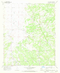
1967 · Tres Lagunas
USGS Topo · 1:24,000
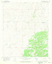
1967 · York Ranch SE
USGS Topo · 1:24,000

1967 · Adams Diggings
USGS Topo · 1:24,000

1967 · Blue Hills
USGS Topo · 1:24,000
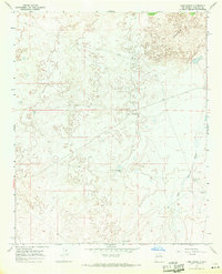
1967 · York Ranch
USGS Topo · 1:24,000

1967 · Veteado Mountain
USGS Topo · 1:24,000