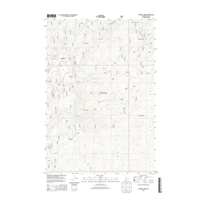
2013 Map of Trapper Creek
USGS Topo · Published 2013About this map
Nez Perce National Forest encompasses this mountain landscape, defined by the complex drainage network of the Red River and the S Fork Red River. The map documents a sparsely populated region of Idaho County where human presence is marked by scattered outposts like Lightfoot and Cook Ranch. High elevation landmarks such as Jack Creek Summit dictate the flow of forest roads, including Red River Rd and Montana Rd. This 2013 survey illustrates the modern management of these timberlands, highlighting recreational access points like Red River Campground and Ditch Creek Campground. The intricate system of waterways, including Trapper Creek and Jack Creek, reveals a geography where development is confined to narrow valleys and established forest service routes, reflecting the enduring character of the Idaho backcountry.
Find a feature on this map
31 named features on this map. Tap any name to fly to it.
Don’t see what you’re looking for? This feature index may not catch every label — zoom into the map to look around manually.
Map Details
Editions of this 2013 Trapper Creek Map
This is the sole edition of this map. No revisions or reprints were ever made.
Other maps of this area

1956 · Elk City
USGS Topo · 1:250,000

1960 · Elk City
USGS Topo · 1:250,000

1966 · Elk City
USGS Topo · 1:24,000

1966 · Black Hawk Mtn
USGS Topo · 1:24,000

1966 · Sable Hill
USGS Topo · 1:24,000

1977 · Boston Mtn
USGS Topo · 1:24,000

1978 · Moose Butte
USGS Topo · 1:24,000

1978 · Hida Point
USGS Topo · 1:24,000

1978 · Trapper Creek
USGS Topo · 1:24,000

1979 · Dixie
USGS Topo · 1:24,000