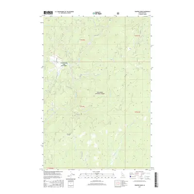
2017 Map of Trapper Creek
USGS Topo · Published 2017About this map
The Clearwater Fish Hatchery stands as a significant human installation within the expansive wilderness of the Nez Perce National Forest. Located at the confluence where Blanco Creek and Moose Butte Creek meet the Red River, this facility marks a vital intersection of conservation and natural waterways in Idaho County. The terrain is defined by its drainage systems, with the S Fork Red River and Trapper Creek carving through the high country. High-altitude landmarks like Jack Creek Summit provide navigational anchors for those traveling the forest service roads. A network of primitive routes, including Red River Rd, Montana Rd, and Jack Mountain Rd, provides the only access through these steep drainages, following the contours of the land to connect the various creek basins and remote forest sections.
Find a feature on this map
27 named features on this map. Tap any name to fly to it.
Don’t see what you’re looking for? This feature index may not catch every label — zoom into the map to look around manually.
Map Details
Editions of this 2017 Trapper Creek Map
This is the sole edition of this map. No revisions or reprints were ever made.
Other maps of this area

1956 · Elk City
USGS Topo · 1:250,000

1960 · Elk City
USGS Topo · 1:250,000

1966 · Elk City
USGS Topo · 1:24,000

1966 · Black Hawk Mtn
USGS Topo · 1:24,000

1966 · Sable Hill
USGS Topo · 1:24,000

1977 · Boston Mtn
USGS Topo · 1:24,000

1978 · Moose Butte
USGS Topo · 1:24,000

1978 · Hida Point
USGS Topo · 1:24,000

1978 · Trapper Creek
USGS Topo · 1:24,000

1979 · Dixie
USGS Topo · 1:24,000