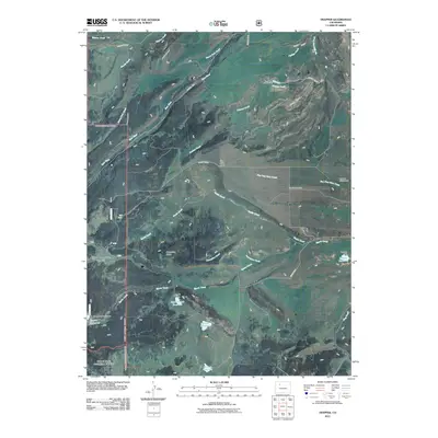
2011 Map of Trapper
USGS Topo · Published 2011About this map
The Bear River flows through this high-altitude landscape of Routt County, where a complex network of water management features supports the region's agricultural and conservation efforts. The Finger Rock Fish Hatchery stands as a notable landmark along Brinker Creek, while numerous family-named water works, such as the Harper and Sons Dam and Sterner Dam, illustrate the local history of land and resource stewardship. These structures create essential catchments like the Harper Reservoir and Sterner Reservoir to capture runoff from the surrounding peaks.
Find a feature on this map
36 named features on this map. Tap any name to fly to it.
Don’t see what you’re looking for? This feature index may not catch every label — zoom into the map to look around manually.
Map Details
Editions of this 2011 Trapper Map
This is the sole edition of this map. No revisions or reprints were ever made.
Other maps of this area

1927 · Glenwood Springs
USGS Topo · 1:125,000

1930 · Glenwood Springs
USGS Topo · 1:125,000

1954 · Craig
USGS Topo · 1:250,000

1957 · Craig
USGS Topo · 1:250,000

1957 · Leadville
USGS Topo · 1:250,000

1958 · Craig
USGS Topo · 1:250,000

1959 · Leadville
USGS Topo · 1:250,000

1960 · Leadville
USGS Topo · 1:250,000

1960 · Craig
USGS Topo · 1:250,000

1962 · Leadville
USGS Topo · 1:250,000