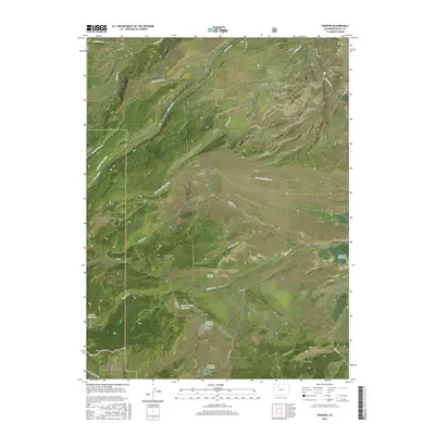
2016 Map of Trapper
USGS Topo · Published 2016About this map
Routt National Forest and White River National Forest dominate this high-country landscape, where complex water management systems define the land use. The presence of the Roaring Fork Ditch and Five Pine Mesa Ditch highlights a sophisticated history of irrigation and water diversion across the undulating terrain of Five Pine Mesa and Porcupine Ridge. Near the settlement of Trapper, several substantial water bodies including Roberta Reservoir, Sterner Reservoir, and Egeria Creek Reservoir anchor the local watershed. The southern portion of the sheet features the Ute Sunnyside Trail winding through the forest near King Mtn, reflecting the area's dual character as both a working landscape for water resources and a recreational wilderness area within Egeria Park.
Find a feature on this map
47 named features on this map. Tap any name to fly to it.
Don’t see what you’re looking for? This feature index may not catch every label — zoom into the map to look around manually.
Map Details
Editions of this 2016 Trapper Map
This is the sole edition of this map. No revisions or reprints were ever made.
Other maps of this area

1927 · Glenwood Springs
USGS Topo · 1:125,000

1930 · Glenwood Springs
USGS Topo · 1:125,000

1954 · Craig
USGS Topo · 1:250,000

1957 · Craig
USGS Topo · 1:250,000

1957 · Leadville
USGS Topo · 1:250,000

1958 · Craig
USGS Topo · 1:250,000

1959 · Leadville
USGS Topo · 1:250,000

1960 · Leadville
USGS Topo · 1:250,000

1960 · Craig
USGS Topo · 1:250,000

1962 · Leadville
USGS Topo · 1:250,000