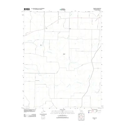
2011 Map of Trask
USGS Topo · Published 2011About this map
The Eleven Point River flows through this portion of Howell County, carving a path through the Ozark landscape alongside prominent terrain features like Sims Valley and Robbins Hollow. The small community of Trask serves as a central point for a network of county roads that crisscross the region, connecting isolated homesites and agricultural lands. Genealogists and local historians will find significant value in the location of Rowe Cemetery in the northern section and Lost Camp Cemetery to the south, both of which provide a geographical anchor for family research in this rural corridor. The drainage of Lost Camp Creek further defines the local topography, influencing the placement of the area's early transportation routes and homesteads.
Find a feature on this map
44 named features on this map. Tap any name to fly to it.
Don’t see what you’re looking for? This feature index may not catch every label — zoom into the map to look around manually.
Map Details
Editions of this 2011 Trask Map
This is the sole edition of this map. No revisions or reprints were ever made.
Other maps of this area

1945 · Willow Springs
USGS Topo · 1:62,500

1945 · Montier
USGS Topo · 1:62,500

1945 · Clear Springs
USGS Topo · 1:62,500

1946 · Summersville
USGS Topo · 1:62,500

1948 · Clear Springs
USGS Topo · 1:62,500

1948 · Montier
USGS Topo · 1:62,500

1948 · Willow Springs
USGS Topo · 1:62,500

1948 · Summersville
USGS Topo · 1:62,500

1949 · Rolla
USGS Topo · 1:250,000

1953 · Rolla
USGS Topo · 1:250,000