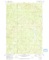
1979 Map of Trask Mtn
USGS Topo · Published 1992About this map
The Tillamook State Forest and Siuslaw National Forest dominate this landscape, illustrating the heavy timber and water management infrastructure of the late 1970s. The terrain is defined by the ridge lines of Trask Mountain and Sheridan Peak, which serve as the headwaters for several significant drainage systems. The North Fork Yamhill River flows through the northeast, while the Nestucca River snakes through the southern reaches. Human activity is concentrated along several logging-access routes like Grade Road and Boundary Road, connecting remote points such as the Headquarters settlement and Elk Flat. Local industry and land use are evident in the numerous labeled quarries and borrow pits scattered across the slopes, while the McGuire Reservoir stands as a major water resource for the surrounding Yamhill and Tillamook county areas.
Find a feature on this map
42 named features on this map. Tap any name to fly to it.
Don’t see what you’re looking for? This feature index may not catch every label — zoom into the map to look around manually.
Map Details
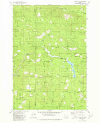
Editions of this 1979 Trask Mtn Map
2 editions found
Other maps of this area

1942 · Ginger Peak
USGS Topo · 1:62,500

1942 · Sheridan
USGS Topo · 1:62,500

1942 · Spirit Mtn
USGS Topo · 1:62,500

1942 · Fairdale
USGS Topo · 1:62,500

1948 · Vancouver
USGS Topo · 1:250,000

1950 · Vancouver
USGS Topo · 1:250,000

1950 · Vancouver
USGS Topo · 1:250,000

1955 · Blaine
USGS Topo · 1:62,500

1955 · Fairdale
USGS Topo · 1:62,500

1955 · Grand Ronde
USGS Topo · 1:62,500