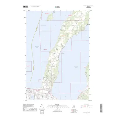
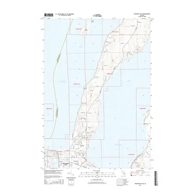
2023 Map of Traverse City SE
USGS Topo · Published 2023About this map
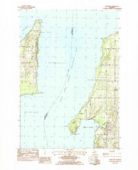
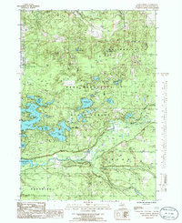
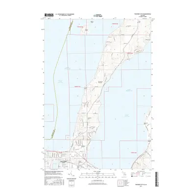
Traverse City occupies a strategic position at the foot of the Old Mission Peninsula, where the waters of Lake Michigan divide into the West Arm and East Arm Grand Traverse Bay. This modern survey reveals the city's dense urban grid around the Grand Traverse County Courthouse and the institutional campus of Northwestern Michigan College. The landscape is defined by its transition from the built-up waterfront at Boardman Lake to the agricultural and residential corridors extending north along Center Rd.
Find a feature on this map
113 named features on this map. Tap any name to fly to it.
Don’t see what you’re looking for? This feature index may not catch every label — zoom into the map to look around manually.
Map Details
Editions of this 2023 Traverse City SE Map
This is the sole edition of this map. No revisions or reprints were ever made.
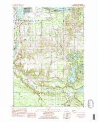
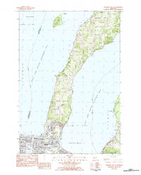
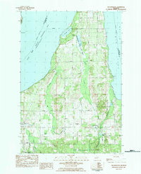
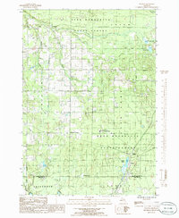
Historical Maps of Traverse City Through Time
44 maps found
1976 Thompsonville NE
Grand Traverse County, MI
1976 Thompsonville SE
Grand Traverse County, MI
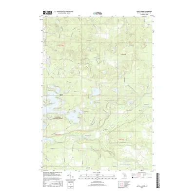
1983 Karlin
Grand Traverse County, MI
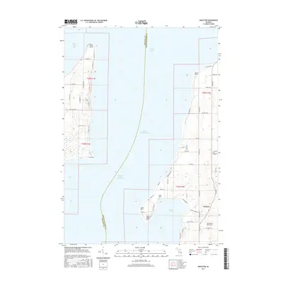
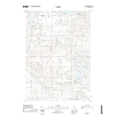
1983 Mapleton
Grand Traverse County, MI
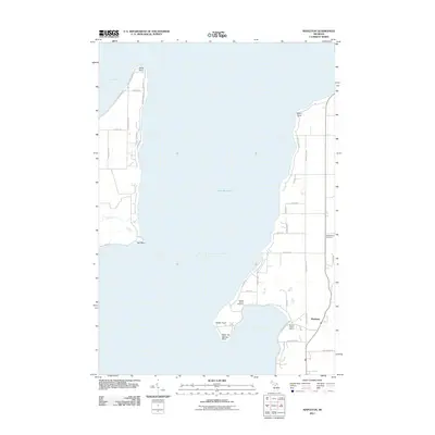
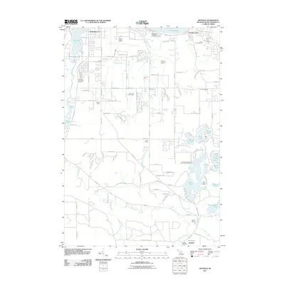
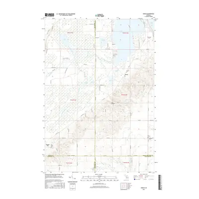
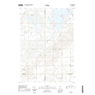
1983 Mayfield
Grand Traverse County, MI
1983 Traverse City SE
Grand Traverse County, MI
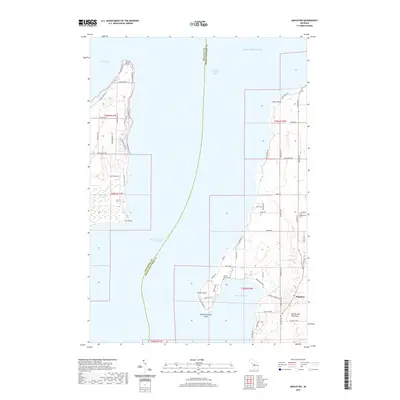
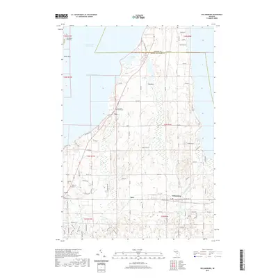
1983 Williamsburg
Grand Traverse County, MI
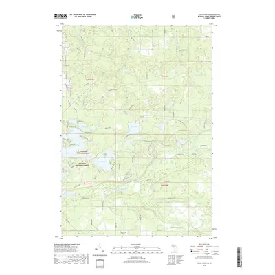
1985 Jacks Landing
Grand Traverse County, MI
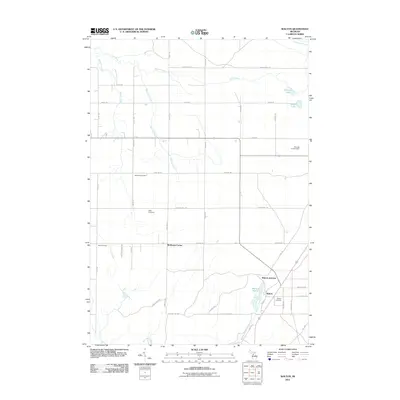
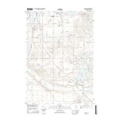
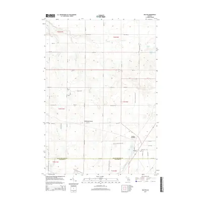
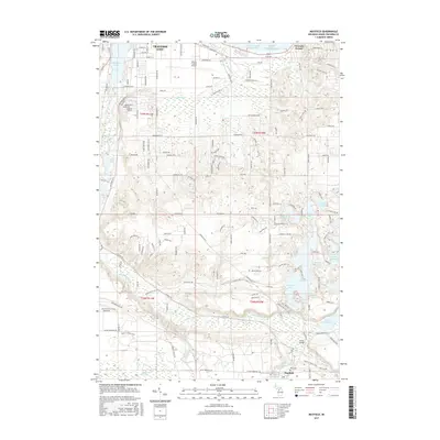
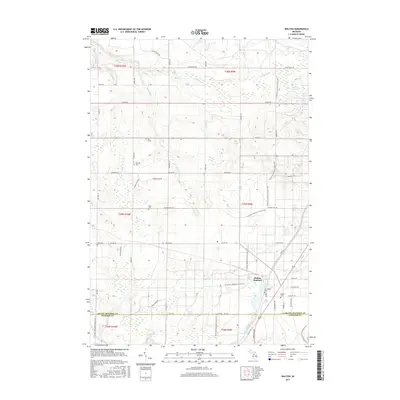
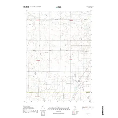
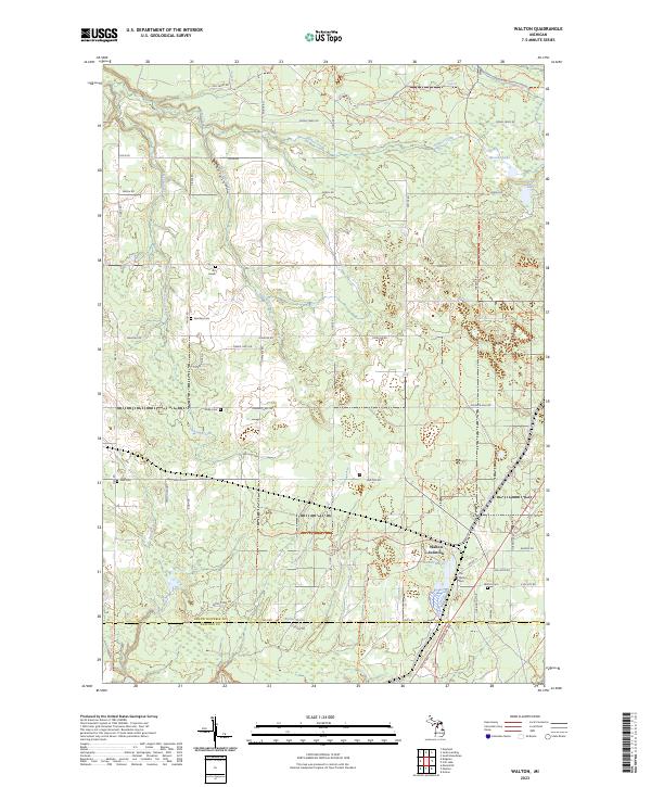
1985 Walton
Grand Traverse County, MI
2011 Jacks Landing
Grand Traverse County, MI
2011 Karlin
Grand Traverse County, MI
2011 Mapleton
Grand Traverse County, MI
2011 Mayfield
Grand Traverse County, MI
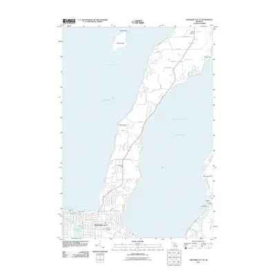
2011 Traverse City SE
Grand Traverse County, MI
2011 Walton
Grand Traverse County, MI
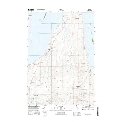
2011 Williamsburg
Grand Traverse County, MI
2014 Jacks Landing
Grand Traverse County, MI
2014 Karlin
Grand Traverse County, MI
2014 Mapleton
Grand Traverse County, MI
2014 Mayfield
Grand Traverse County, MI
2014 Traverse City SE
Grand Traverse County, MI
2014 Walton
Grand Traverse County, MI
2014 Williamsburg
Grand Traverse County, MI
2017 Jacks Landing
Grand Traverse County, MI
2017 Karlin
Grand Traverse County, MI
2017 Mapleton
Grand Traverse County, MI
2017 Mayfield
Grand Traverse County, MI
2017 Traverse City SE
Grand Traverse County, MI
2017 Walton
Grand Traverse County, MI
2017 Williamsburg
Grand Traverse County, MI
2019 Jacks Landing
Grand Traverse County, MI
2019 Karlin
Grand Traverse County, MI
2019 Mapleton
Grand Traverse County, MI
2019 Mayfield
Grand Traverse County, MI
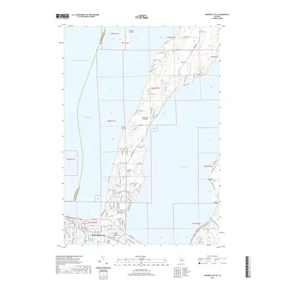
2019 Traverse City SE
Grand Traverse County, MI
2019 Walton
Grand Traverse County, MI
2019 Williamsburg
Grand Traverse County, MI
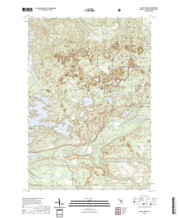
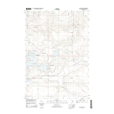
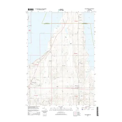
2023 Jacks Landing
Grand Traverse County, MI
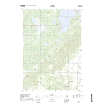
2023 Karlin
Grand Traverse County, MI
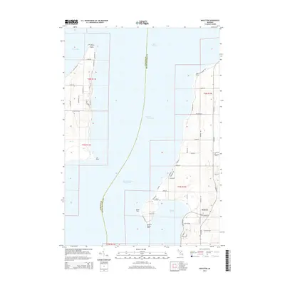
2023 Mapleton
Grand Traverse County, MI
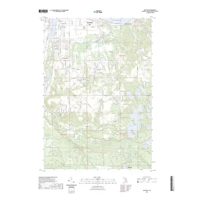
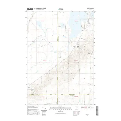
2023 Mayfield
Grand Traverse County, MI
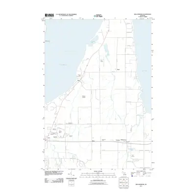
2023 Traverse City SE
Grand Traverse County, MI
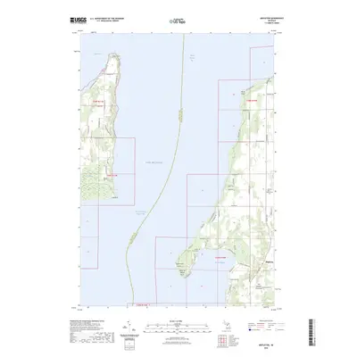
2023 Walton
Grand Traverse County, MI
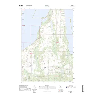
2023 Williamsburg
Grand Traverse County, MI