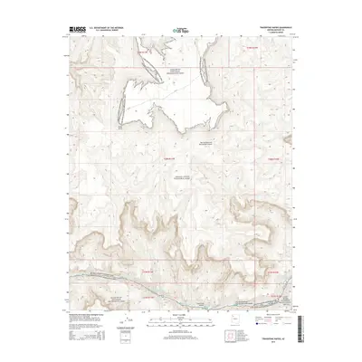
2014 Map of Travertine Rapids
USGS Topo · Published 2014About this map
The Colorado River carves through this remote stretch of Mohave County, where the southern boundary of Grand Canyon National Park meets the Lake Mead National Recreation Area. This terrain is defined by dramatic elevation changes and deep natural drainages, most notably Two Hundred and Twentymile Canyon and Travertine Canyon. The river corridor features Travertine Rapids and the mouth of Diamond Creek, critical navigation points for river travelers and historical points of interest for those studying the Colorado's path through the inner canyon. High above the river, Kelly Point serves as a prominent overlook. The map provides a detailed view of the township and range survey lines—including t28n r11w and t27n r10w—illustrating how federal land boundaries intersect with the natural topography of the canyon floor.
Find a feature on this map
14 named features on this map. Tap any name to fly to it.
Don’t see what you’re looking for? This feature index may not catch every label — zoom into the map to look around manually.
Map Details
Editions of this 2014 Travertine Rapids Map
This is the sole edition of this map. No revisions or reprints were ever made.
Other maps of this area

1886 · Diamond Creek
USGS Topo · 1:250,000

1892 · Diamond Creek
USGS Topo · 1:250,000

1948 · Williams
USGS Topo · 1:250,000

1954 · Williams
USGS Topo · 1:250,000

1956 · Williams
USGS Topo · 1:250,000

1960 · Williams
USGS Topo · 1:250,000

1961 · Williams
USGS Topo · 1:250,000
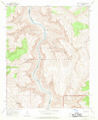
1967 · Granite Park
USGS Topo · 1:24,000
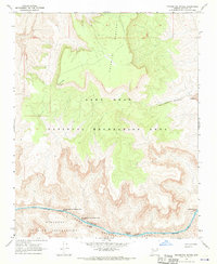
1967 · Travertine Rapids
USGS Topo · 1:24,000
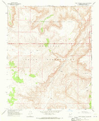
1967 · Peach Springs Canyon
USGS Topo · 1:24,000