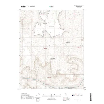
2018 Map of Travertine Rapids
USGS Topo · Published 2018About this map
Colorado River currents carve through the dramatic landscapes of northwestern Arizona, where the river serves as the defining boundary for several major geographic features. This map documents a high-gradient section of the watercourse, specifically focusing on the treacherous Travertine Rapids and the nearby Travertine Falls. The terrain is characterized by deep incisions like the Lower Granite Gorge and Travertine Canyon, which illustrate the erosion patterns central to the Colorado Plateau's formation.
Find a feature on this map
21 named features on this map. Tap any name to fly to it.
Don’t see what you’re looking for? This feature index may not catch every label — zoom into the map to look around manually.
Map Details
Editions of this 2018 Travertine Rapids Map
This is the sole edition of this map. No revisions or reprints were ever made.
Other maps of this area

1886 · Diamond Creek
USGS Topo · 1:250,000

1892 · Diamond Creek
USGS Topo · 1:250,000

1948 · Williams
USGS Topo · 1:250,000

1954 · Williams
USGS Topo · 1:250,000

1956 · Williams
USGS Topo · 1:250,000

1960 · Williams
USGS Topo · 1:250,000

1961 · Williams
USGS Topo · 1:250,000
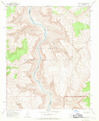
1967 · Granite Park
USGS Topo · 1:24,000
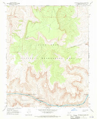
1967 · Travertine Rapids
USGS Topo · 1:24,000
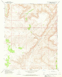
1967 · Peach Springs Canyon
USGS Topo · 1:24,000