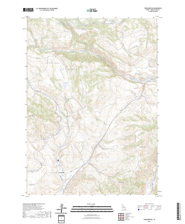
2023 Map of Treasureton
USGS Topo · Published 2023About this map
Treasureton serves as the focal point of this rural Franklin County landscape, where the agricultural life of the valley is defined by an intricate network of waterways. The Treasureton Canal, Cleveland-Irrigation Canal, and Cottonwood Creek weave through the terrain, supporting the farms that have sustained this community for generations. To the west, the Portneuf Range rises sharply, while the Bear River Range and the waters of the Bear River frame the eastern and southeastern margins of the sheet. The local history of this area is anchored at the Treasureton Cem, located just north of the town center near Battle Creek. The relationship between the high peaks of Rocky Peak and Treasureton Hill and the lowland corridors like Stock Valley illustrates the classic Idaho basin-and-range geography, where settlement naturally follows the path of available water and manageable grades.
Find a feature on this map
23 named features on this map. Tap any name to fly to it.
Don’t see what you’re looking for? This feature index may not catch every label — zoom into the map to look around manually.
Map Details
Editions of this 2023 Treasureton Map
This is the sole edition of this map. No revisions or reprints were ever made.
Other maps of this area

1915 · Preston
USGS Topo · 1:96,000

1918 · Preston
USGS Topo · 1:125,000

1955 · Preston
USGS Topo · 1:250,000

1958 · Preston
USGS Topo · 1:250,000

1962 · Preston
USGS Topo · 1:250,000
1969 · Treasureton
USGS Topo · 1:24,000
1969 · Mink Creek
USGS Topo · 1:24,000
1969 · Banida
USGS Topo · 1:24,000
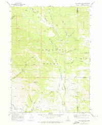
1969 · Cottonwood Peak
USGS Topo · 1:24,000
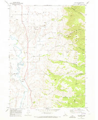
1969 · Thatcher
USGS Topo · 1:24,000