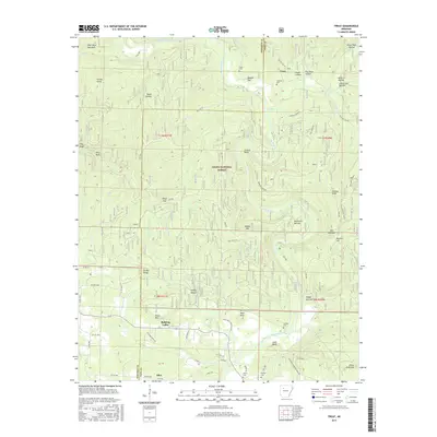
2017 Map of Treat
USGS Topo · Published 2017About this map
Big Piney Creek defines the topographical character of this Pope County landscape, winding south through the Ozark National Forest toward the small community of Silex. The terrain is marked by sharp elevations and deep hollows, including Elmer Page Hollow and Mine Hollow, which likely speak to early resource extraction and land ownership in the region. To the north, the settlement of Treat serves as a focal point for local history, centered near the Treat Cem and Shannon Cem. This area of the Ozarks preserves a traditional settlement pattern where small family groupings and church congregations established their roots in valleys like Bullfrog Valley or atop heights such as Evans Mtn and Pilot Rock Mountain. The map also reveals the remote connectivity of the day, with numerous forest service routes like Meadows Knob Rd and Treat Rd providing access across the complex drainage systems of Indian Cr and Jakes Cr.
Find a feature on this map
86 named features on this map. Tap any name to fly to it.
Don’t see what you’re looking for? This feature index may not catch every label — zoom into the map to look around manually.
Map Details
Editions of this 2017 Treat Map
This is the sole edition of this map. No revisions or reprints were ever made.
Other maps of this area

1888 · Dardanelle #2
USGS Topo · 1:62,500

1888 · Dardanelle #1
USGS Topo · 1:62,500

1889 · Treat
USGS Topo · 1:62,500

1889 · Ozone
USGS Topo · 1:62,500

1890 · Dardanelle
USGS Topo · 1:125,000

1932 · Treat
USGS Topo · 1:62,500

1934 · Treat
USGS Topo · 1:62,500

1934 · Ozone
USGS Topo · 1:62,500

1936 · Ozone
USGS Topo · 1:62,500

1956 · Russellville
USGS Topo · 1:250,000