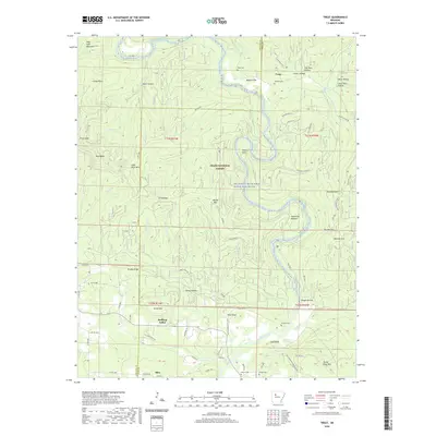
2020 Map of Treat
USGS Topo · Published 2020About this map
Big Piney Creek Wild and Scenic River snakes through the heart of this landscape, carving deep bends around Felkins Point and past the expansive Wainscott Bottom. This portion of the Ozark National Forest is defined by its dramatic elevation changes, where named peaks like Pilot Rock Mountain and Three Knob Mtn overlook narrow hollows and creek beds. The human footprint is most evident in the southern reaches, where Bullfrog Valley provides a pocket of flatter terrain for agricultural activity and the settlement of Silex. Smaller communities and homesteads are tied to the land by a network of forest roads and county routes, while the area's history is preserved in scattered locations such as Treat Cem near the Maupin Flat and Grimmet Springs along the river banks.
Find a feature on this map
89 named features on this map. Tap any name to fly to it.
Don’t see what you’re looking for? This feature index may not catch every label — zoom into the map to look around manually.
Map Details
Editions of this 2020 Treat Map
This is the sole edition of this map. No revisions or reprints were ever made.
Other maps of this area

1888 · Dardanelle #2
USGS Topo · 1:62,500

1888 · Dardanelle #1
USGS Topo · 1:62,500

1889 · Treat
USGS Topo · 1:62,500

1889 · Ozone
USGS Topo · 1:62,500

1890 · Dardanelle
USGS Topo · 1:125,000

1932 · Treat
USGS Topo · 1:62,500

1934 · Treat
USGS Topo · 1:62,500

1934 · Ozone
USGS Topo · 1:62,500

1936 · Ozone
USGS Topo · 1:62,500

1956 · Russellville
USGS Topo · 1:250,000