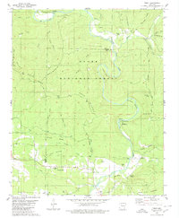
1980 Map of Treat
USGS Topo · Published 1980About this map
Big Piney Creek carves a deep path through this portion of the Ozark National Forest, defining the region's geography and settlement patterns. The small community of Treat sits along Spring Creek in the northern reaches, supported by the Treat Cem and Shannon Cem. To the south, Bullfrog Valley provides a rare stretch of relatively level ground, hosting the Gospel Lighthouse Ch and the settlement of Silex.
Find a feature on this map
92 named features on this map. Tap any name to fly to it.
Don’t see what you’re looking for? This feature index may not catch every label — zoom into the map to look around manually.
Map Details
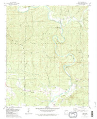
Editions of this 1980 Treat Map
2 editions found
Other maps of this area

1888 · Dardanelle #2
USGS Topo · 1:62,500

1888 · Dardanelle #1
USGS Topo · 1:62,500

1889 · Treat
USGS Topo · 1:62,500

1889 · Ozone
USGS Topo · 1:62,500

1890 · Dardanelle
USGS Topo · 1:125,000

1932 · Treat
USGS Topo · 1:62,500

1934 · Treat
USGS Topo · 1:62,500

1934 · Ozone
USGS Topo · 1:62,500

1936 · Ozone
USGS Topo · 1:62,500

1956 · Russellville
USGS Topo · 1:250,000