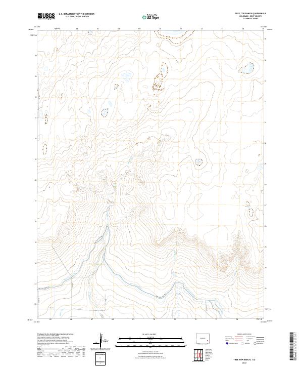
2022 Map of Tree Top Ranch
USGS Topo · Published 2022About this map
Agricultural water management and the arid drainage patterns of the High Plains define this section of Bent County. The southern portion of the landscape is dominated by the Fort Lyon Canal, a vital irrigation artery accompanied by the Fort Lyon Canal Rd. This engineered water system, including the Kicking Bird Canal and the Miller Ditch, represents the essential infrastructure required for ranching and farming in this semi-arid environment.
Find a feature on this map
16 named features on this map. Tap any name to fly to it.
Don’t see what you’re looking for? This feature index may not catch every label — zoom into the map to look around manually.
Map Details
Editions of this 2022 Tree Top Ranch Map
This is the sole edition of this map. No revisions or reprints were ever made.
Other maps of this area

1891 · Las Animas
USGS Topo · 1:125,000

1892 · Lamar
USGS Topo · 1:125,000

1893 · Las Animas
USGS Topo · 1:125,000

1953 · Hasty
USGS Topo · 1:24,000

1953 · Las Animas
USGS Topo · 1:24,000

1953 · Kreybill
USGS Topo · 1:24,000

1954 · Lamar
USGS Topo · 1:250,000

1955 · Tree Top Ranch
USGS Topo · 1:24,000

1955 · Lubers
USGS Topo · 1:24,000

1955 · Bishop Ranch
USGS Topo · 1:24,000