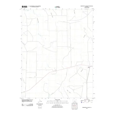
2010 Map of Trementina Canyon
USGS Topo · Published 2010About this map
Trementina Canyon and its namesake drainage dominate this section of Las Animas County, where the high plains meet the rugged erosional features of southeastern Colorado. The settlement at Walts Corner serves as a small crossroads hub in a landscape otherwise defined by sharp topographical changes and drainage systems. To the northwest, the Purgatoire River cuts across the corner of the map, while the interior is marked by a network of significant arroyos including Gutierrez Canyon, Hunt Canyon, and Trujillo Canyon. A local road network, including County Rd-127 and County Rd-133, provides access through the cattle country and over the prominent Piñon Ridge. This 2010 survey illustrates the persistent rural character of the region, documenting the exact placement of remote ranch roads and watercourses like Trementina Creek that are vital to local land use.
Find a feature on this map
14 named features on this map. Tap any name to fly to it.
Don’t see what you’re looking for? This feature index may not catch every label — zoom into the map to look around manually.
Map Details
Editions of this 2010 Trementina Canyon Map
This is the sole edition of this map. No revisions or reprints were ever made.
Other maps of this area

1891 · Mesa De Maya
USGS Topo · 1:125,000

1892 · Elmoro
USGS Topo · 1:125,000

1893 · Elmoro
USGS Topo · 1:125,000

1893 · Mesa de Maya
USGS Topo · 1:125,000

1897 · Elmoro
USGS Topo · 1:125,000

1954 · Trinidad
USGS Topo · 1:250,000

1955 · La Junta
USGS Topo · 1:250,000

1955 · Trinidad
USGS Topo · 1:250,000

1958 · La Junta
USGS Topo · 1:250,000

1958 · Trinidad
USGS Topo · 1:250,000