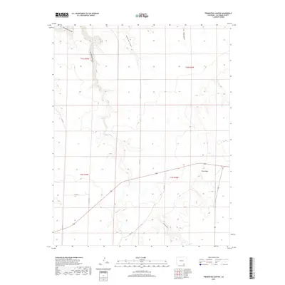
2019 Map of Trementina Canyon
USGS Topo · Published 2019About this map
Purgatoire Canyon and the surrounding high desert terrain dominate this landscape in southern Las Animas County. The intricate drainage network is defined by deep incisions such as Trementina Canyon, Gutierrez Canyon, and Trujillo Canyon, which channel seasonal water toward the larger Purgatoire basin. This 2019 survey illustrates the sparse, ranch-oriented infrastructure of the region, where livestock and land management are facilitated by a thin web of remote county roads. Significant relief is found along Piñon Ridge, a prominent elevated feature that overlooks the smaller drainage of Trementina Cr. The map captures a quiet section of the Colorado borderlands where the geography remains largely dictated by the natural flow of water through these numerous canyon systems.
Find a feature on this map
16 named features on this map. Tap any name to fly to it.
Don’t see what you’re looking for? This feature index may not catch every label — zoom into the map to look around manually.
Map Details
Editions of this 2019 Trementina Canyon Map
This is the sole edition of this map. No revisions or reprints were ever made.
Other maps of this area
1891 · Mesa De Maya
USGS Topo · 1:125,000
1892 · Elmoro
USGS Topo · 1:125,000
1893 · Elmoro
USGS Topo · 1:125,000
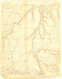
1893 · Mesa de Maya
USGS Topo · 1:125,000
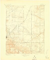
1897 · Elmoro
USGS Topo · 1:125,000

1954 · Trinidad
USGS Topo · 1:250,000

1955 · La Junta
USGS Topo · 1:250,000

1955 · Trinidad
USGS Topo · 1:250,000

1958 · La Junta
USGS Topo · 1:250,000

1958 · Trinidad
USGS Topo · 1:250,000