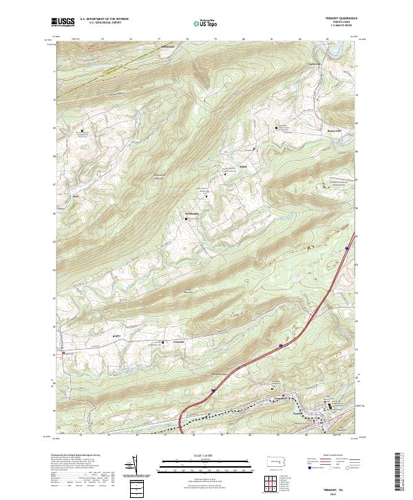
2023 Map of Tremont
USGS Topo · Published 2023About this map
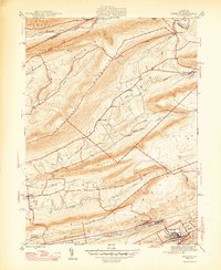
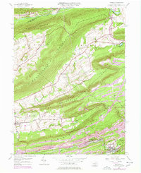
Tremont and Donaldson anchor the southern valleys of this Schuylkill County landscape, where the ridges of Broad Mountain and Little Mountain dictate the patterns of settlement. The area is defined by a deep religious and genealogical history, evidenced by numerous burial grounds such as the Saint Peter's Evangelical and Reformed Cem and the Donaldson Community Cem. The map tracks the passage of Good Spring Creek and Pine Creek through these narrow corridors, showing how the local road network follows the natural water gaps. To the north, the terrain transitions into the high ridges of Line Mountain near Helfenstein, while the central area features smaller hamlets like Weishample and Mabel. The presence of the Schuylkill County/Joe Zerbey Airport highlights the mid-century infrastructure supporting this corner of the Pennsylvania coal region, while the northern border with Northumberland County is marked by the course of Mahanoy Creek.
Find a feature on this map
94 named features on this map. Tap any name to fly to it.
Don’t see what you’re looking for? This feature index may not catch every label — zoom into the map to look around manually.
Map Details
Editions of this 2023 Tremont Map
This is the sole edition of this map. No revisions or reprints were ever made.
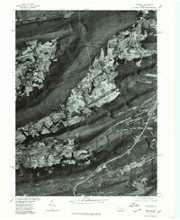
Historical Maps of Taylorville Through Time
4 maps found