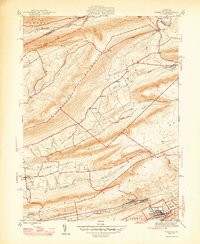
1947 Map of Tremont
USGS Topo · Published 1947About this map
Tremont serves as a central hub in this post-war landscape, situated where the Reading railroad lines converge to support the regional coal and timber economies. The map illustrates a distinctive valley-and-ridge pattern, with Mahantango Mountain and Line Mountain creating natural barriers that dictate the placement of settlements and transport routes. Smaller agricultural and mining communities like Hegins and Donaldson are connected by a network of creeks and runs, including Deep Creek and Hans Yost Creek. The presence of the Power Plant near the southwestern corner and the Salem Ch closer to the center reflects the mix of industrial development and local community life during the late 1940s. These topographical details show a region transitioning through the mid-20th century, where the rugged terrain of Red Mtn and Little Mountain forced development into narrow, fertile corridors.
Find a feature on this map
37 named features on this map. Tap any name to fly to it.
Don’t see what you’re looking for? This feature index may not catch every label — zoom into the map to look around manually.
Map Details
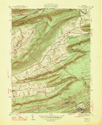
Editions of this 1947 Tremont Map
2 editions found
Other maps of this area

1889 · Catawissa
USGS Topo · 1:62,500

1892 · Catawissa
USGS Topo · 1:62,500

1892 · Lykens
USGS Topo · 1:62,500

1892 · Shamokin
USGS Topo · 1:62,500

1892 · Pine Grove
USGS Topo · 1:62,500

1893 · Lykens
USGS Topo · 1:62,500

1893 · Shamokin
USGS Topo · 1:62,500

1894 · Catawissa
USGS Topo · 1:62,500

1943 · Lykens
USGS Topo · 1:62,500

1943 · Shamokin
USGS Topo · 1:62,500