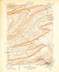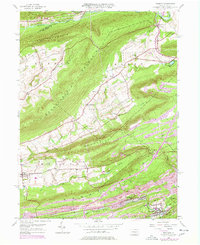
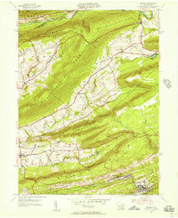
1954 Map of Tremont
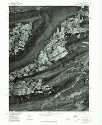
USGS Topo · Published 1977About this map
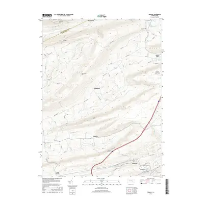
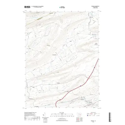
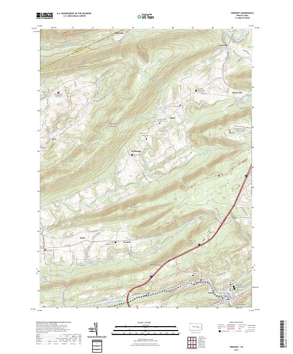
Line Mountain and the surrounding ridges of the Pennsylvania coal region define this 1954 landscape, which includes significant revisions reflecting the growth of Tremont and the nearby mining operations through 1977. The map documents a transition in local industry and transport, where the Conrail rail lines and Interchange 34 intersect the older patterns of the valley. Settlement clusters like Donaldson and Good Spring sit at the base of Broad Mountain, while the northern reaches near Helfenstein and Taylorville follow the winding path of Mahanoy Creek.
Find a feature on this map
45 named features on this map. Tap any name to fly to it.
Don’t see what you’re looking for? This feature index may not catch every label — zoom into the map to look around manually.
Map Details
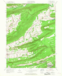
Editions of this 1954 Tremont Map
4 editions found
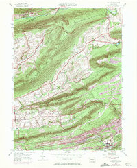
Historical Maps of Hegins Township Through Time
8 maps found