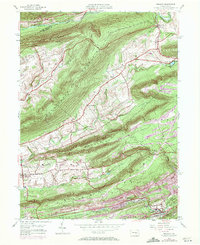
1954 Map of Tremont
USGS Topo · Published 1971About this map
Line Mountain and Mahantango Mountain define the rhythmic, ridged landscape of Schuylkill County in this mid-century survey. The southern valleys are anchored by the industrial and residential corridors of Tremont, Donaldson, and Good Spring, where the Reading railroad infrastructure supported the local economy. Further north, the terrain transitions into a more rural pattern of scattered hamlets like Mabel and Helfenstein, connected by winding roads through the gaps of Broad Mountain.
Find a feature on this map
37 named features on this map. Tap any name to fly to it.
Don’t see what you’re looking for? This feature index may not catch every label — zoom into the map to look around manually.
Map Details
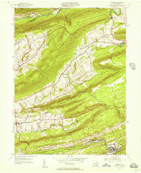
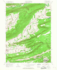
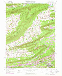
Editions of this 1954 Tremont Map
4 editions found
Other maps of this area

1889 · Catawissa
USGS Topo · 1:62,500

1892 · Catawissa
USGS Topo · 1:62,500

1892 · Lykens
USGS Topo · 1:62,500

1892 · Shamokin
USGS Topo · 1:62,500

1892 · Pine Grove
USGS Topo · 1:62,500

1893 · Lykens
USGS Topo · 1:62,500

1893 · Shamokin
USGS Topo · 1:62,500

1894 · Catawissa
USGS Topo · 1:62,500

1943 · Lykens
USGS Topo · 1:62,500

1943 · Shamokin
USGS Topo · 1:62,500