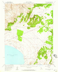
1958 Map of Trench Canyon
USGS Topo · Published 1959About this map
Mono Lake dominates the southwestern corner of this high-desert survey, its shoreline traced in 1958 before decades of shifting water levels. The landscape is a corridor of historical transit and industry, defined by the Old Railroad Grade and the diagonal Von Schmidt Line marking the boundary between California and Nevada. Industrial history is etched into the northern canyons, where the Syndicate Mill (Site), Gray Mill, and a Toll House suggest the area's mining heritage near the Brawley Peaks. To the east, the Toiyabe National Forest covers high ground above Alkali Valley, while local water sources like Warm Springs and Kirkwood Spring provide critical landmarks in the arid terrain. The presence of Mark Twain Camp in the northeastern reaches provides a unique link to the region's literary and frontier associations.
Find a feature on this map
35 named features on this map. Tap any name to fly to it.
Don’t see what you’re looking for? This feature index may not catch every label — zoom into the map to look around manually.
Map Details
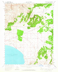
Editions of this 1958 Trench Canyon Map
2 editions found
Other maps of this area

1901 · Mt. Lyell
USGS Topo · 1:125,000

1909 · Hawthorne
USGS Topo · 1:250,000

1909 · Bridgeport
USGS Topo · 1:125,000

1911 · Bridgeport
USGS Topo · 1:125,000

1911 · Hawthorne
USGS Topo · 1:250,000

1914 · Mt. Morrison
USGS Topo · 1:125,000

1915 · Hawthorne
USGS Topo · 1:250,000

1920 · Bridgeport
USGS Topo · 1:125,000

1947 · Mariposa
USGS Topo · 1:250,000

1948 · Walker Lake
USGS Topo · 1:250,000