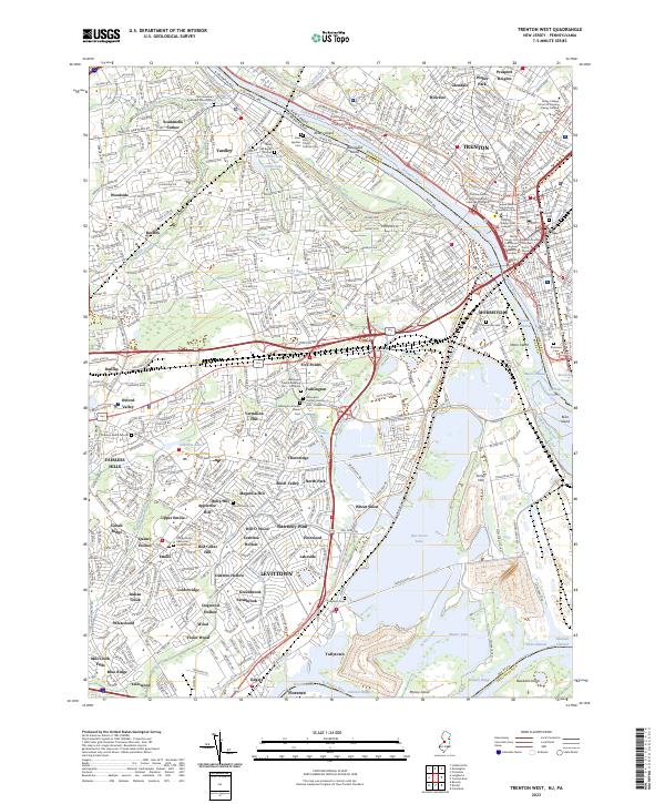
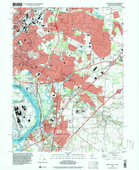
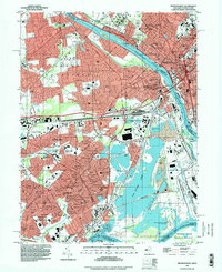
2023 Map of Trenton West
USGS Topo · Published 2023About this map
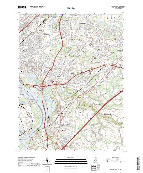
The Delaware River forms a wide, winding boundary between Pennsylvania and New Jersey, defining the character of this suburban and industrial corridor. On the Pennsylvania side, the planned community of Levittown is shown in detail, organized into distinct neighborhoods like Oaktree Hollow, Crabtree Hollow, and Magnolia Hill. This post-war residential expansion sits in contrast to the colonial roots of Fallsington, where several historic cemeteries including the Fallsington Friends Meeting Cem - Hicksite and the Fallsington Friends Newer Cem are preserved.
Find a feature on this map
108 named features on this map. Tap any name to fly to it.
Don’t see what you’re looking for? This feature index may not catch every label — zoom into the map to look around manually.
Map Details
Editions of this 2023 Trenton West Map
This is the sole edition of this map. No revisions or reprints were ever made.
Historical Maps of Upper Emilie Through Time
10 maps found
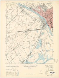
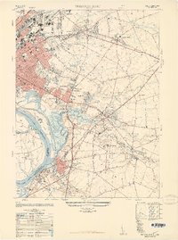
1944 Trenton West
Mercer County, NJ
1947 Trenton East
Mercer County, NJ
1947 Trenton West
Mercer County, NJ
1948 Trenton East
Mercer County, NJ
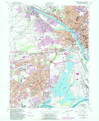
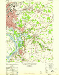
1955 Trenton West
Mercer County, NJ
1957 Trenton East
Mercer County, NJ
1995 Trenton East
Mercer County, NJ
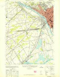
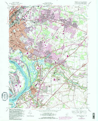
1995 Trenton West
Mercer County, NJ
2023 Trenton East
Mercer County, NJ
2023 Trenton West
Mercer County, NJ
Featured Locations
- Ewing Township, NJ
- Hamilton Township, NJ
- Trenton, NJ
- Middletown Township, PA
- Levittown, Bristol Township