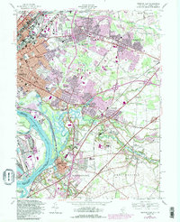
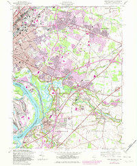
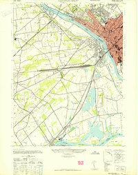
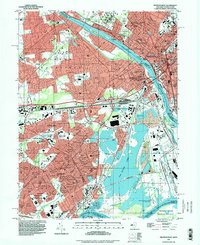
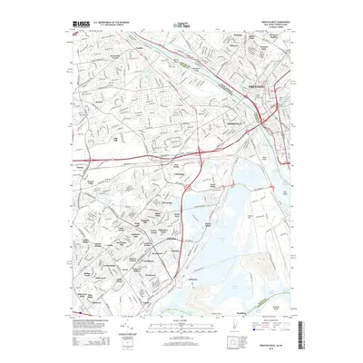
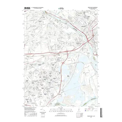
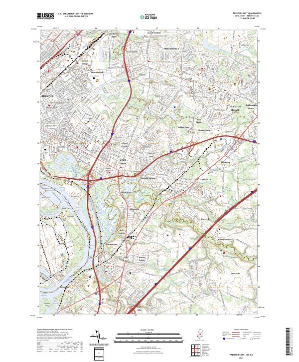
1957 Map of Trenton East
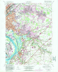
USGS Topo · Published 1989About this map
The Delaware River serves as the focal point for this survey, marking the state boundary between New Jersey and Pennsylvania as industrial and residential expansion begins to reshape the landscape. The area east of Trenton is a complex network of established neighborhoods and developing tracts like Warner Village and The Orchards. Large-scale institutional landmarks, such as the State Fairgrounds and the State Industrial School, occupy significant acreage, while the Conrail and Amtrak rail lines indicate the region's importance as a transportation corridor.
Find a feature on this map
75 named features on this map. Tap any name to fly to it.
Don’t see what you’re looking for? This feature index may not catch every label — zoom into the map to look around manually.
Map Details
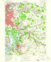
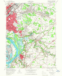
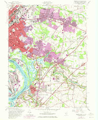
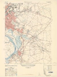
Editions of this 1957 Trenton East Map
6 editions found
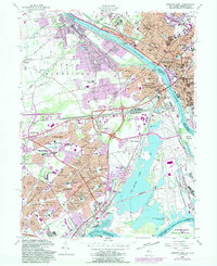
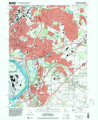
Historical Maps of Hamilton Township Through Time
18 maps found
1944 Trenton West
Mercer County, NJ
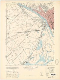
1947 Trenton East
Mercer County, NJ
1947 Trenton West
Mercer County, NJ
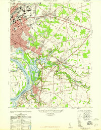
1948 Trenton East
Mercer County, NJ
1955 Trenton West
Mercer County, NJ
1957 Trenton East
Mercer County, NJ
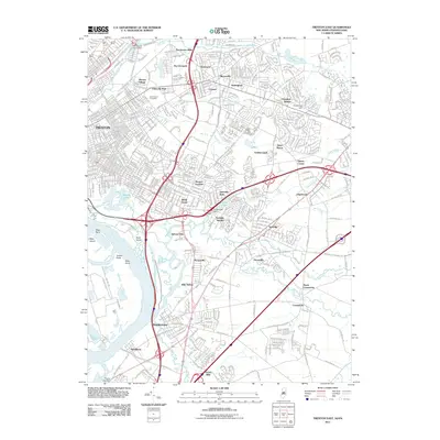
1995 Trenton East
Mercer County, NJ
1995 Trenton West
Mercer County, NJ
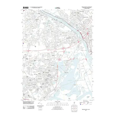
2011 Trenton East
Mercer County, NJ
2011 Trenton West
Mercer County, NJ
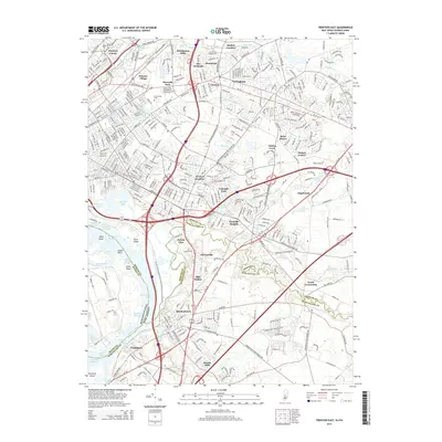
2014 Trenton East
Mercer County, NJ
2014 Trenton West
Mercer County, NJ
2016 Trenton East
Mercer County, NJ
2016 Trenton West
Mercer County, NJ
2019 Trenton East
Mercer County, NJ
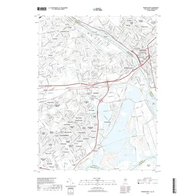
2019 Trenton West
Mercer County, NJ
2023 Trenton East
Mercer County, NJ
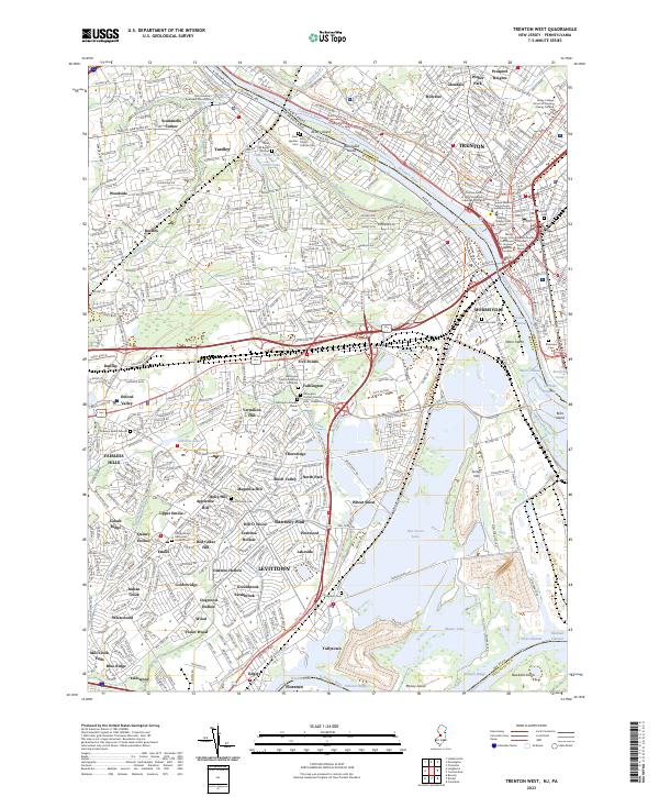
2023 Trenton West
Mercer County, NJ