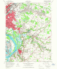
1957 Map of Trenton East
USGS Topo · Published 1967About this map
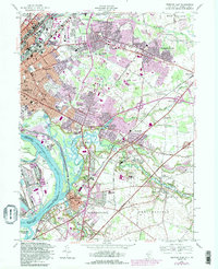
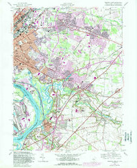
Industrial corridors and suburban expansion define the landscape east of Trenton during this mid-century period. The dense rail infrastructure of the Pennsylvania railroad network anchors the region, connecting established river towns like Bordentown and Fieldsboro with the growing residential tracts of Hamilton Square and Mercerville. Along the Delaware River, the map detail captures the complex hydrology of Duck Island and Biles Island, where numerous creeks like Crosswicks Creek and Back Creek weave through low-lying marshlands and industrial zones.
Find a feature on this map
81 named features on this map. Tap any name to fly to it.
Don’t see what you’re looking for? This feature index may not catch every label — zoom into the map to look around manually.
Map Details
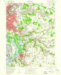
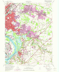
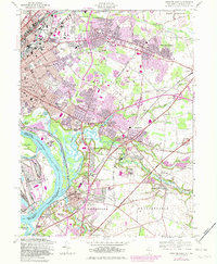
Editions of this 1957 Trenton East Map
6 editions found
Other maps of this area

1888 · Bordentown
USGS Topo · 1:62,500

1888 · Princeton
USGS Topo · 1:62,500

1890 · Lambertville
USGS Topo · 1:62,500

1890 · Burlington
USGS Topo · 1:62,500

1891 · Lambertville
USGS Topo · 1:62,500

1893 · Bordentown
USGS Topo · 1:62,500

1893 · Burlington
USGS Topo · 1:62,500

1894 · Princeton
USGS Topo · 1:62,500

1894 · Lambertville
USGS Topo · 1:62,500

1904 · Burlington
USGS Topo · 1:62,500