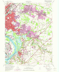
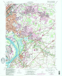
1957 Map of Trenton East
USGS Topo · Published 1972About this map
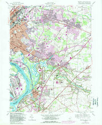
Industrial and institutional development shapes the corridor between Trenton and Bordentown during this mid-century period. Significant land use is dedicated to large-scale facilities including the State Reformatory near Groveville and the State Industrial School along the riverbanks. The Delaware River serves as a major logistical artery, with Duck Island and Biles Island punctuating the waterway. Suburban expansion is evident in the residential clusters of Mercerville, Hamilton Square, and White Horse, which are connected by a network of established routes like the White Horse-Hamilton Square Road.
Find a feature on this map
74 named features on this map. Tap any name to fly to it.
Don’t see what you’re looking for? This feature index may not catch every label — zoom into the map to look around manually.
Map Details
Editions of this 1957 Trenton East Map
6 editions found
Other maps of this area

1888 · Bordentown
USGS Topo · 1:62,500

1888 · Princeton
USGS Topo · 1:62,500

1890 · Lambertville
USGS Topo · 1:62,500

1890 · Burlington
USGS Topo · 1:62,500

1891 · Lambertville
USGS Topo · 1:62,500

1893 · Bordentown
USGS Topo · 1:62,500

1893 · Burlington
USGS Topo · 1:62,500

1894 · Princeton
USGS Topo · 1:62,500

1894 · Lambertville
USGS Topo · 1:62,500

1904 · Burlington
USGS Topo · 1:62,500