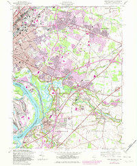
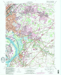
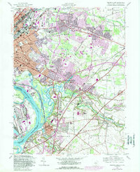
1957 Map of Trenton East
USGS Topo · Published 1982About this map
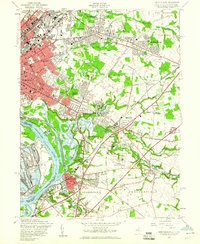
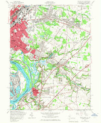
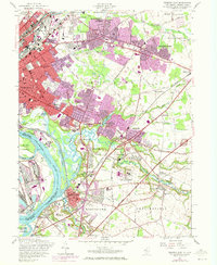
Trenton serves as a dense urban anchor on this mid-century survey, where the Delaware River winds past Biles Island and Newbold Island. The landscape transitions from the gridded streets of the city to expanding suburbs like Mercerville, Hamilton Square, and Yardville. Significant institutional presence is visible at the State Fairgrounds and the State Industrial School, while the era's infrastructure is marked by the heavy rail lines of the Amtrak and Conrail systems. Local heritage is preserved in the extensive grounds of Greenwood Cemetery and the many neighborhood schools like Hamilton High Sch. The map documents a period of suburban development pushing into former agricultural areas, evidenced by settlements such as North Crosswicks and Dunns Mills near the winding course of Crosswicks Creek. Water features like Gropp Lake and Rowan Lake appear as central points for recreation in Roebing Memorial Park, surrounded by the growing residential neighborhoods of White Horse and Lakeside Park.
Find a feature on this map
105 named features on this map. Tap any name to fly to it.
Don’t see what you’re looking for? This feature index may not catch every label — zoom into the map to look around manually.
Map Details
Editions of this 1957 Trenton East Map
6 editions found
Other maps of this area

1888 · Bordentown
USGS Topo · 1:62,500

1888 · Princeton
USGS Topo · 1:62,500

1890 · Lambertville
USGS Topo · 1:62,500

1890 · Burlington
USGS Topo · 1:62,500

1891 · Lambertville
USGS Topo · 1:62,500

1893 · Bordentown
USGS Topo · 1:62,500

1893 · Burlington
USGS Topo · 1:62,500

1894 · Princeton
USGS Topo · 1:62,500

1894 · Lambertville
USGS Topo · 1:62,500

1904 · Burlington
USGS Topo · 1:62,500