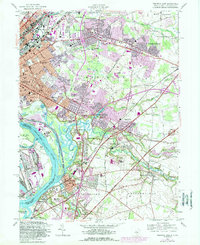
1957 Map of Trenton East
USGS Topo · Published 1989About this map
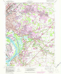
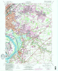
Trenton expands eastward into Hamilton township in this mid-century look at the industrial and suburban development of Mercer and Burlington Counties. The landscape is dominated by the sprawling State Fairgrounds and the massive State Industrial School near Bordentown, reflecting the institutional character of the era. Settlement patterns follow the historic corridors of the Delaware River and the Amtrak rail lines, with established communities like Hamilton Square and Mercerville serving as hubs for newer neighborhoods like Yardville Heights and Trenton Gardens.
Find a feature on this map
79 named features on this map. Tap any name to fly to it.
Don’t see what you’re looking for? This feature index may not catch every label — zoom into the map to look around manually.
Map Details
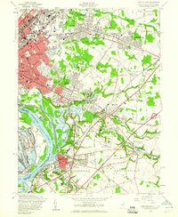
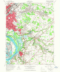
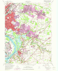
Editions of this 1957 Trenton East Map
6 editions found
Other maps of this area

1888 · Bordentown
USGS Topo · 1:62,500

1888 · Princeton
USGS Topo · 1:62,500

1890 · Lambertville
USGS Topo · 1:62,500

1890 · Burlington
USGS Topo · 1:62,500

1891 · Lambertville
USGS Topo · 1:62,500

1893 · Bordentown
USGS Topo · 1:62,500

1893 · Burlington
USGS Topo · 1:62,500

1894 · Princeton
USGS Topo · 1:62,500

1894 · Lambertville
USGS Topo · 1:62,500

1904 · Burlington
USGS Topo · 1:62,500