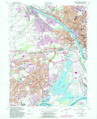
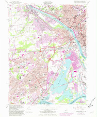
1955 Map of Trenton West
USGS Topo · Published 1989About this map
The Delaware River serves as the dividing line between New Jersey and Pennsylvania in this 1955 survey, which was photorevised in 1981 to show the rapid expansion of suburban developments. On the Pennsylvania side, the planned community of Levittown is shown in detail, with its distinct neighborhoods like Appletree Hill, Lakeside, and Stonybrook radiating from school sites such as the John Fitch Sch and Walt Disney Sch. Across the river, the urban core of Trenton is densely packed with institutional landmarks, including the State Capitol, Trenton Prison, and the State Hospital.
Find a feature on this map
105 named features on this map. Tap any name to fly to it.
Don’t see what you’re looking for? This feature index may not catch every label — zoom into the map to look around manually.
Map Details
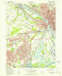
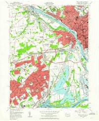
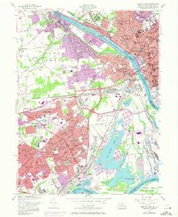
Editions of this 1955 Trenton West Map
5 editions found
Other maps of this area

1888 · Bordentown
USGS Topo · 1:62,500

1888 · Princeton
USGS Topo · 1:62,500

1890 · Lambertville
USGS Topo · 1:62,500

1890 · Burlington
USGS Topo · 1:62,500

1891 · Lambertville
USGS Topo · 1:62,500

1893 · Bordentown
USGS Topo · 1:62,500

1893 · Burlington
USGS Topo · 1:62,500

1894 · Princeton
USGS Topo · 1:62,500

1894 · Lambertville
USGS Topo · 1:62,500

1904 · Burlington
USGS Topo · 1:62,500
Featured Places
- Hamilton Township, NJ
- Trenton, NJ
- Levittown, Bristol Township
- Middletown Township, PA
- Ewing Township, NJ