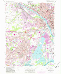
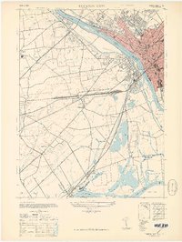
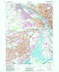
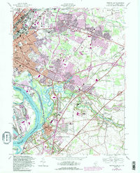
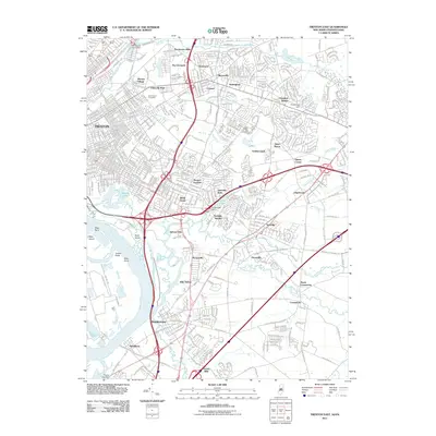
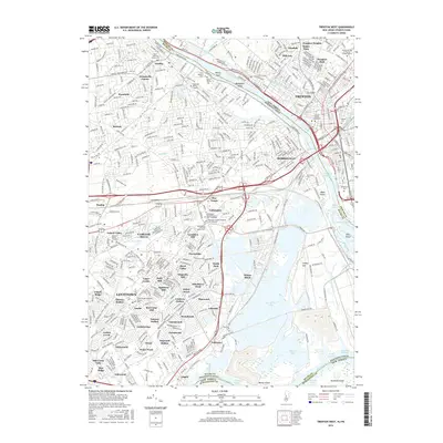
1955 Map of Trenton West
USGS Topo · Published 1982About this map
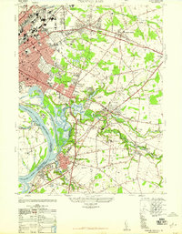
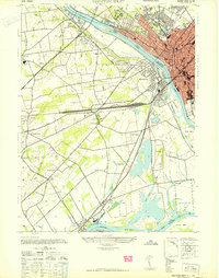
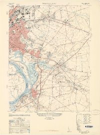
Trenton and Morrisville anchor this mid-century survey of the Delaware River corridor, showing a period of massive suburban expansion across the New Jersey and Pennsylvania border. The planned community of Levittown is seen in significant detail, organized into distinct residential neighborhoods like Magnolia Hill, Pinewood, and Goldenridge. This residential boom is supported by a dense network of new institutions, including the Ralph Waldo Emerson Sch and Benjamin Franklin Sch.
Find a feature on this map
113 named features on this map. Tap any name to fly to it.
Don’t see what you’re looking for? This feature index may not catch every label — zoom into the map to look around manually.
Map Details
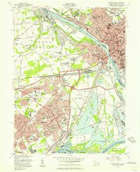
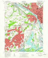
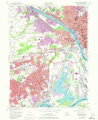
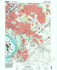
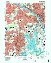
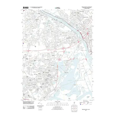
Editions of this 1955 Trenton West Map
5 editions found
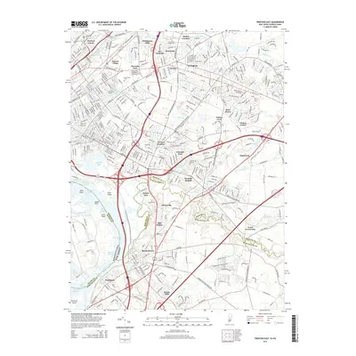
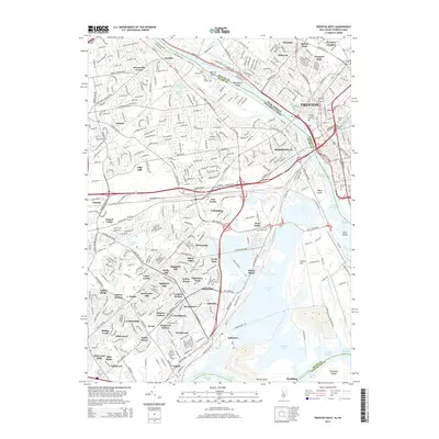
Historical Maps of Hamilton Township Through Time
18 maps found
1944 Trenton West
Mercer County, NJ
1947 Trenton East
Mercer County, NJ
1947 Trenton West
Mercer County, NJ
1948 Trenton East
Mercer County, NJ
1955 Trenton West
Mercer County, NJ
1957 Trenton East
Mercer County, NJ
1995 Trenton East
Mercer County, NJ
1995 Trenton West
Mercer County, NJ
2011 Trenton East
Mercer County, NJ
2011 Trenton West
Mercer County, NJ
2014 Trenton East
Mercer County, NJ
2014 Trenton West
Mercer County, NJ
2016 Trenton East
Mercer County, NJ
2016 Trenton West
Mercer County, NJ
2019 Trenton East
Mercer County, NJ
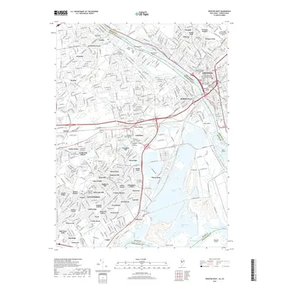
2019 Trenton West
Mercer County, NJ
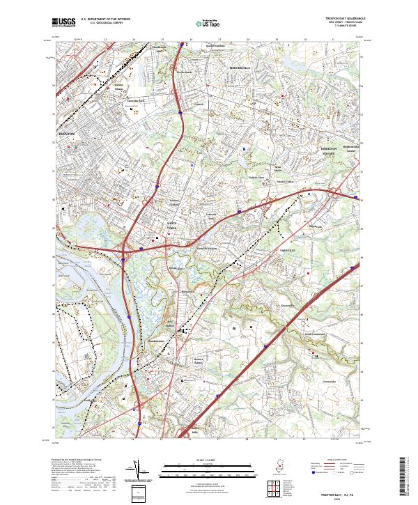
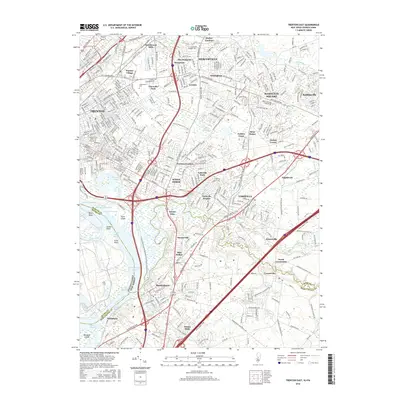
2023 Trenton East
Mercer County, NJ
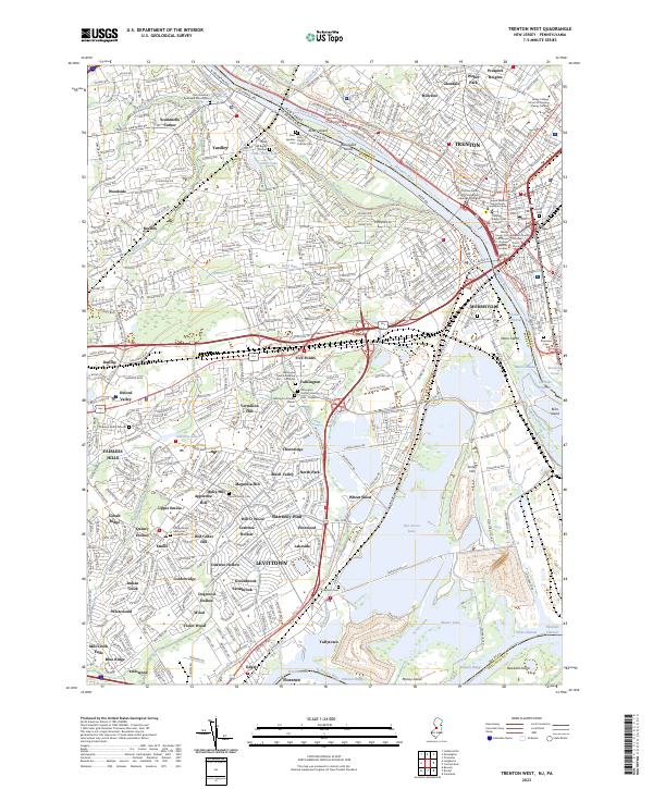
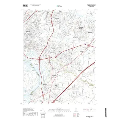
2023 Trenton West
Mercer County, NJ
Featured Locations
- Ewing Township, NJ
- Hamilton Township, NJ
- Trenton, NJ
- Middletown Township, PA
- Levittown, Bristol Township