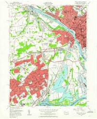
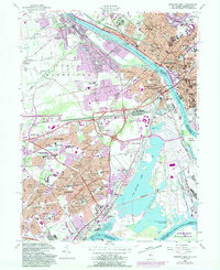
1955 Map of Trenton West
USGS Topo · Published 1963About this map
The Delaware River serves as the dividing line between two distinct urban landscapes in the mid-1950s, separating the industrial core of Trenton, New Jersey, from the burgeoning suburban developments in Bucks County, Pennsylvania. This period marks a massive transformation for the region, most notably seen in the planned expansion of Levittown, where neighborhoods like Magnolia Hill, Pinewood, and Dogwood Hollow appear in their early stages. The map captures the complex infrastructure required by this growth, including the Trenton Freeway and multiple crossings connecting the two states.
Find a feature on this map
127 named features on this map. Tap any name to fly to it.
Don’t see what you’re looking for? This feature index may not catch every label — zoom into the map to look around manually.
Map Details
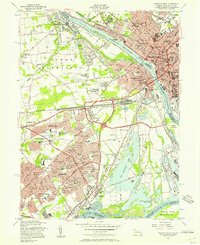
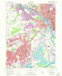
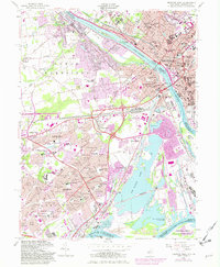
Editions of this 1955 Trenton West Map
5 editions found
Other maps of this area

1888 · Bordentown
USGS Topo · 1:62,500

1888 · Princeton
USGS Topo · 1:62,500

1890 · Lambertville
USGS Topo · 1:62,500

1890 · Burlington
USGS Topo · 1:62,500

1891 · Lambertville
USGS Topo · 1:62,500

1893 · Bordentown
USGS Topo · 1:62,500

1893 · Burlington
USGS Topo · 1:62,500

1894 · Princeton
USGS Topo · 1:62,500

1894 · Lambertville
USGS Topo · 1:62,500

1904 · Burlington
USGS Topo · 1:62,500
Featured Places
- Hamilton Township, NJ
- Trenton, NJ
- Levittown, Bristol Township
- Middletown Township, PA
- Ewing Township, NJ