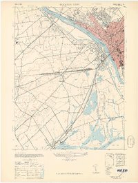
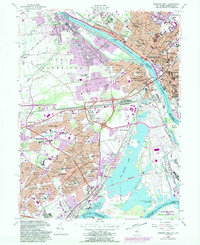
1944 Map of Trenton West
USGS Topo · Published 1950About this map
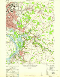
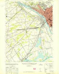
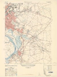
The Delaware River serves as the central artery and state boundary in this mid-century survey, dividing the urban grid of Trenton, New Jersey, from the borough of Morrisville, Pennsylvania. The map illustrates a high degree of industrial and transportation development, dominated by the Pennsylvania Railroad and the Lincoln Highway. Notable landmarks of local importance include the NJ State Hospital, Cadwalader Park, and the landmark Wm Trent House 1719.
Find a feature on this map
55 named features on this map. Tap any name to fly to it.
Don’t see what you’re looking for? This feature index may not catch every label — zoom into the map to look around manually.
Map Details
Editions of this 1944 Trenton West Map
This is the sole edition of this map. No revisions or reprints were ever made.
Historical Maps of Perdicaris Place Through Time
10 maps found
1944 Trenton West
Mercer County, NJ
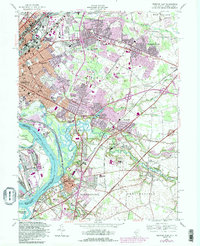
1947 Trenton East
Mercer County, NJ
1947 Trenton West
Mercer County, NJ
1948 Trenton East
Mercer County, NJ
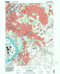
1955 Trenton West
Mercer County, NJ
1957 Trenton East
Mercer County, NJ
1995 Trenton East
Mercer County, NJ
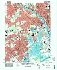
1995 Trenton West
Mercer County, NJ
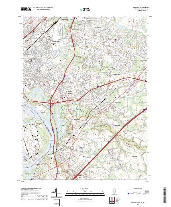
2023 Trenton East
Mercer County, NJ
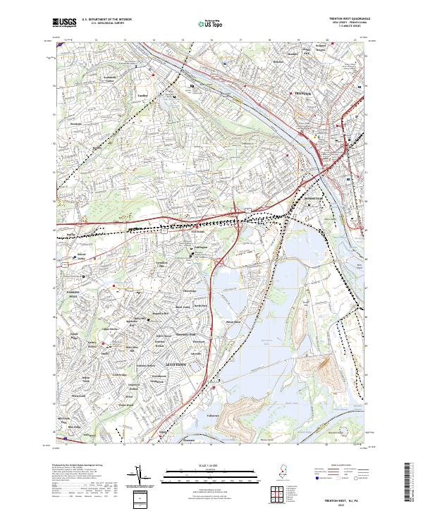
2023 Trenton West
Mercer County, NJ
Featured Locations
- Ewing Township, NJ
- Hamilton Township, NJ
- Trenton, NJ
- Middletown Township, PA
- Levittown, Bristol Township