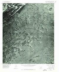
1976 Map of Tres Hermanos NW
USGS Topo · Published 1980About this map
White Sands Ranch sits within this desert landscape of Otero County, captured in the mid-1970s via orthophotography. The terrain is defined by the stark transition between the shifting dunes at Point of Sands and the more stable, brush-covered flats characteristic of the Tularosa Basin. This 1976 aerial survey provides a clear view of the sparse human footprint in this part of New Mexico, where large-scale ranching operations like the White Sands Ranch were the primary fixtures. The map also highlights natural landmarks such as Twin Buttes, which serve as navigational markers across the relatively flat basin floor. This specific orthophotoquad format offers researchers a more realistic visual of ground cover and vegetation patterns than traditional line-drawn topographic maps of the era.
Find a feature on this map
3 named features on this map. Tap any name to fly to it.
Don’t see what you’re looking for? This feature index may not catch every label — zoom into the map to look around manually.
Map Details
Editions of this 1976 Tres Hermanos NW Map
This is the sole edition of this map. No revisions or reprints were ever made.
Other maps of this area

1916 · Point Of Sands
USGS Topo · 1:125,000

1947 · Point Of Sands 2
USGS Topo · 1:62,500

1947 · Lake Lucero
USGS Topo · 1:62,500

1948 · Tres Hermanos
USGS Topo · 1:62,500

1948 · Holloman
USGS Topo · 1:62,500

1948 · Lake Lucero SE
USGS Topo · 1:24,000
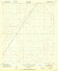
1950 · Lake Lucero SE
USGS Topo · 1:24,000
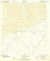
1950 · Lake Lucero NE
USGS Topo · 1:24,000

1955 · Las Cruces
USGS Topo · 1:250,000

1958 · Las Cruces
USGS Topo · 1:250,000