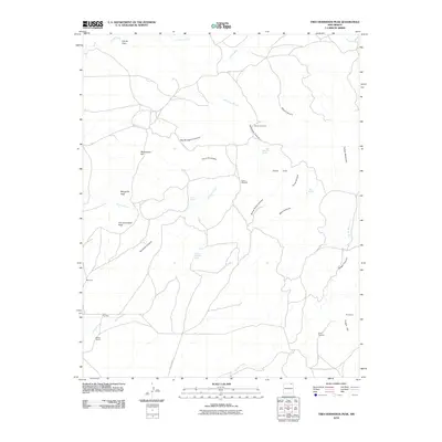
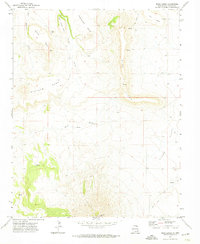
2010 Map of Tres Hermanos Peak
USGS Topo · Published 2010About this map
Tres Hermanos Peak and the surrounding high country of Colfax County define this landscape of canyons and isolated springs as it appeared in the early 21st century. The map illustrates a transition between the elevated summits of Margarito Peak and Turkey Mountain and the deep incisions of Tecolote Canyon and Van Bruggen Canyon. Water management is central to the area's survival, evidenced by the presence of the Garcia Windmill, Moore Windmill, and several isolated water sources such as Rock Spring and Alamo Spring. Local industry and land use are reflected in the Shell Prospect and several named ranching or survey locations like Neill 3 Sauble and York-1-Tex-Mex. This territory is primarily navigated via rural routes like County Road C-34, which connects the high Piñon Hills and the drainage of Rondeau Creek to the broader New Mexico ranching interior.
Find a feature on this map
40 named features on this map. Tap any name to fly to it.
Don’t see what you’re looking for? This feature index may not catch every label — zoom into the map to look around manually.
Map Details
Editions of this 2010 Tres Hermanos Peak Map
This is the sole edition of this map. No revisions or reprints were ever made.
Other maps of this area

1954 · Raton
USGS Topo · 1:250,000

1958 · Raton
USGS Topo · 1:250,000

1965 · Sauble Circle Dot Ranch
USGS Topo · 1:24,000

1965 · Abbott NW
USGS Topo · 1:24,000

1971 · Tres Hermanos Peak
USGS Topo · 1:24,000
1971 · Eagle Tail Mountain
USGS Topo · 1:24,000
1971 · Loco Arroyo
USGS Topo · 1:24,000

1971 · Pine Buttes
USGS Topo · 1:24,000
1971 · Tinaja Mountain
USGS Topo · 1:24,000
1971 · Mesa Larga
USGS Topo · 1:24,000