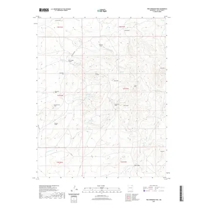
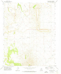
2020 Map of Tres Hermanos Peak
USGS Topo · Published 2020About this map
Tres Hermanos Peak and the surrounding high country of Colfax County define a landscape shaped by narrow canyons and isolated water sources. This 2020 survey documents a high-altitude network of named springs, including Rock Spring, Alamo Spring, and the uniquely named Notch-in-the-Rock Spring, which likely served as vital landmarks in this arid environment. The terrain is marked by prominent elevations such as Cerro Ermitano, Margarito Peak, and the Three Sisters, while drainage patterns flow through systems like Chiflones Canyon and Archuleta Arroyo. The map traces historical land divisions and transport routes, from the winding path of Laughlin Peak Rd to the southern reach of Co Rd C 34. These features provide a clear picture of the modern-day geography of this portion of northern New Mexico, where topographic landmarks remain the primary points of orientation.
Find a feature on this map
39 named features on this map. Tap any name to fly to it.
Don’t see what you’re looking for? This feature index may not catch every label — zoom into the map to look around manually.
Map Details
Editions of this 2020 Tres Hermanos Peak Map
This is the sole edition of this map. No revisions or reprints were ever made.
Other maps of this area

1954 · Raton
USGS Topo · 1:250,000

1958 · Raton
USGS Topo · 1:250,000

1965 · Sauble Circle Dot Ranch
USGS Topo · 1:24,000

1965 · Abbott NW
USGS Topo · 1:24,000

1971 · Tres Hermanos Peak
USGS Topo · 1:24,000
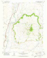
1971 · Eagle Tail Mountain
USGS Topo · 1:24,000
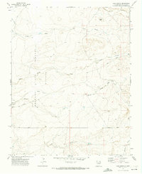
1971 · Loco Arroyo
USGS Topo · 1:24,000

1971 · Pine Buttes
USGS Topo · 1:24,000
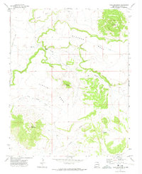
1971 · Tinaja Mountain
USGS Topo · 1:24,000
1971 · Mesa Larga
USGS Topo · 1:24,000