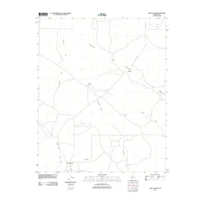
2010 Map of Tres Lagunas
USGS Topo · Published 2010About this map
Tres Lagunas and the Tres Lagunas Cemetery sit at the southern edge of this high-altitude landscape, where the drainage patterns of the Still Canyon and Newton Draw converge. The area is defined by a network of ranching outposts and water management features essential for life in this arid region, including Veteado Camp, the Lehew Ranch, and the small settlement of Lehew. These sites are linked by unpaved tracks and County Rd A083, tracing a human geography dictated by seasonal water flow.
Find a feature on this map
18 named features on this map. Tap any name to fly to it.
Don’t see what you’re looking for? This feature index may not catch every label — zoom into the map to look around manually.
Map Details
Editions of this 2010 Tres Lagunas Map
This is the sole edition of this map. No revisions or reprints were ever made.
Other maps of this area

1917 · Broom Mountain
USGS Topo · 1:125,000

1954 · Saint Johns
USGS Topo · 1:250,000

1954 · Socorro
USGS Topo · 1:250,000

1957 · Saint Johns
USGS Topo · 1:250,000

1958 · Socorro
USGS Topo · 1:250,000

1958 · Saint Johns
USGS Topo · 1:250,000

1962 · Socorro
USGS Topo · 1:250,000

1962 · Saint Johns
USGS Topo · 1:250,000

1964 · Third Canyon
USGS Topo · 1:24,000
1964 · Bonine Canyon
USGS Topo · 1:24,000