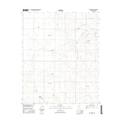
2017 Map of Tres Lagunas
USGS Topo · Published 2017About this map
Tres Lagunas and the small settlement of Lehew anchor this Catron County landscape, where the high desert terrain is defined by a network of drainage systems and livestock infrastructure. The intermittent flow of Freeland Arroyo winds across the northern sections, cutting through draws like Newton Draw and Homestead Draw. This era shows a transition toward modern rural development, evidenced by the subdivided residential roads of the Ponderosa Ranches area, including Ponderosa Vista Blvd and Sunset Ridge Dr.
Find a feature on this map
31 named features on this map. Tap any name to fly to it.
Don’t see what you’re looking for? This feature index may not catch every label — zoom into the map to look around manually.
Map Details
Editions of this 2017 Tres Lagunas Map
This is the sole edition of this map. No revisions or reprints were ever made.
Other maps of this area

1917 · Broom Mountain
USGS Topo · 1:125,000

1954 · Saint Johns
USGS Topo · 1:250,000

1954 · Socorro
USGS Topo · 1:250,000

1957 · Saint Johns
USGS Topo · 1:250,000

1958 · Socorro
USGS Topo · 1:250,000

1958 · Saint Johns
USGS Topo · 1:250,000

1962 · Socorro
USGS Topo · 1:250,000

1962 · Saint Johns
USGS Topo · 1:250,000

1964 · Third Canyon
USGS Topo · 1:24,000
1964 · Bonine Canyon
USGS Topo · 1:24,000