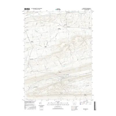
2016 Map of Trevorton
USGS Topo · Published 2016About this map
Trevorton sits at the base of Little Mountain, serving as a focal point for this Northumberland County landscape where valley settlements meet the rising ridges of the Coal Region. The terrain is defined by a series of prominent parallel ridges, including Big Mtn and Mahanoy Mtn, which separate the residential grids from the industrial basins. Evidence of the area's anthracite legacy is visible in features like the Trevorton Fines Pond, Sunshine Fines Pond, and the drainage of Zerbe Run.
Find a feature on this map
82 named features on this map. Tap any name to fly to it.
Don’t see what you’re looking for? This feature index may not catch every label — zoom into the map to look around manually.
Map Details
Editions of this 2016 Trevorton Map
This is the sole edition of this map. No revisions or reprints were ever made.
Other maps of this area

1892 · Lykens
USGS Topo · 1:62,500

1892 · Shamokin
USGS Topo · 1:62,500
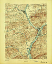
1893 · Sunbury
USGS Topo · 1:62,500

1893 · Lykens
USGS Topo · 1:62,500
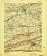
1893 · Shamokin
USGS Topo · 1:62,500

1893 · Millersburg
USGS Topo · 1:62,500
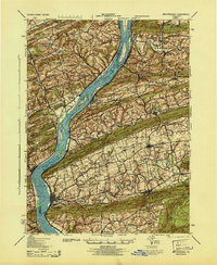
1943 · Millersburg
USGS Topo · 1:62,500
1943 · Lykens
USGS Topo · 1:62,500
1943 · Shamokin
USGS Topo · 1:62,500
1943 · Sunbury
USGS Topo · 1:62,500
Featured Places
- West Cameron Township, PA
- Rockefeller Township, PA
- Augustaville, Rockefeller Township
- Farnsworth, Shamokin Township
- Little Mahanoy Township, PA