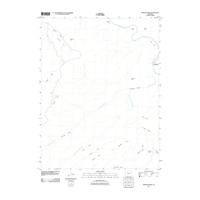
2011 Map of Triangle Mesa
USGS Topo · Published 2011About this map
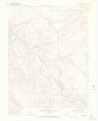
Bridgeport sits along the Gunnison River in this western Colorado landscape, where the river's path is carved through an intricate network of mesas and deep drainages. The topography is defined by significant elevations like Triangle Mesa and No Mans Mesa, separated by a system of erosion-carved canyons. The Big Dominguez Creek and its tributary, the Dry Fork Big Dominguez Creek, serve as the primary drainage arteries for the south and central regions, while smaller features like Warm Spring indicate the localized hydrology of the desert floor. Northward, the terrain opens into flatlands including Poverty Flat and Dads Flat, providing a sharp contrast to the narrow corridors of Poison Canyon and Middle Canyon. This survey documents a quiet reach of the river valley where transportation is largely dictated by the natural corridors of Gibbler Gulch and Cactus Park, providing a detailed view of the area's geography at the start of the 2010s.
Find a feature on this map
27 named features on this map. Tap any name to fly to it.
Don’t see what you’re looking for? This feature index may not catch every label — zoom into the map to look around manually.
Map Details
Editions of this 2011 Triangle Mesa Map
This is the sole edition of this map. No revisions or reprints were ever made.
Other maps of this area

1956 · Moab
USGS Topo · 1:250,000

1959 · Moab
USGS Topo · 1:250,000

1960 · Moab
USGS Topo · 1:250,000

1962 · Moab
USGS Topo · 1:250,000

1964 · Moab
USGS Topo · 1:250,000

1965 · Moab
USGS Topo · 1:250,000
1969 · Whitewater
USGS Topo · 1:24,000
1969 · Juniata Reservoir
USGS Topo · 1:24,000
1969 · Triangle Mesa
USGS Topo · 1:24,000
1969 · Dominguez
USGS Topo · 1:24,000