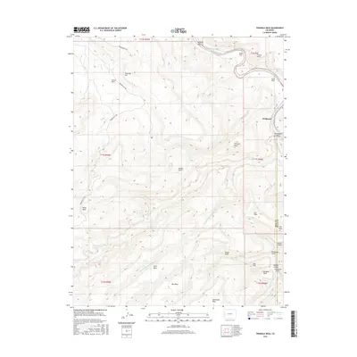
2016 Map of Triangle Mesa
USGS Topo · Published 2016About this map
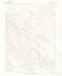
Bridgeport sits at a strategic bend where the Gunnison River carves through the sandstone plateaus of the Uncompahgre Uplift. This area is defined by its dramatic verticality, where the water has etched deep incisions like Dominguez Canyon and Poison Canyon into a series of massive flat-topped features including Triangle Mesa, Long Mesa, and Steamboat Mesa. The complex drainage system of Big Dominguez Cr and its Dry Fork provides vital corridors through the high desert, long utilized for movement across the landscape.
Find a feature on this map
35 named features on this map. Tap any name to fly to it.
Don’t see what you’re looking for? This feature index may not catch every label — zoom into the map to look around manually.
Map Details
Editions of this 2016 Triangle Mesa Map
This is the sole edition of this map. No revisions or reprints were ever made.
Other maps of this area

1956 · Moab
USGS Topo · 1:250,000

1959 · Moab
USGS Topo · 1:250,000

1960 · Moab
USGS Topo · 1:250,000

1962 · Moab
USGS Topo · 1:250,000

1964 · Moab
USGS Topo · 1:250,000

1965 · Moab
USGS Topo · 1:250,000
1969 · Whitewater
USGS Topo · 1:24,000
1969 · Juniata Reservoir
USGS Topo · 1:24,000
1969 · Triangle Mesa
USGS Topo · 1:24,000
1969 · Dominguez
USGS Topo · 1:24,000