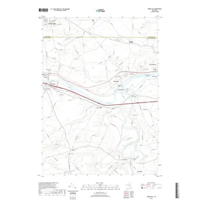
2019 Map of Tribes Hill
USGS Topo · Published 2019About this map
The Mohawk River corridor serves as the primary artery for transport and settlement, with the waterway and parallel rail lines bisecting the landscape. Significant 18th-century heritage is anchored by Fort Johnson and Fort Hunter, while the confluence with Schoharie Creek marks a historically strategic point for navigation and trade. The northern portion of the map transitions into the southern outskirts of Johnstown, including the industrial and residential pockets of Baronial Hts.
Find a feature on this map
122 named features on this map. Tap any name to fly to it.
Don’t see what you’re looking for? This feature index may not catch every label — zoom into the map to look around manually.
Map Details
Editions of this 2019 Tribes Hill Map
This is the sole edition of this map. No revisions or reprints were ever made.
Other maps of this area

1895 · Amsterdam
USGS Topo · 1:62,500

1896 · Fonda
USGS Topo · 1:62,500

1898 · Fonda
USGS Topo · 1:62,500

1899 · Broadalbin
USGS Topo · 1:62,500

1902 · Broadalbin
USGS Topo · 1:62,500

1902 · Fonda
USGS Topo · 1:62,500

1903 · Gloversville
USGS Topo · 1:62,500

1931 · Amsterdam
USGS Topo · 1:62,500

1943 · Gloversville
USGS Topo · 1:62,500
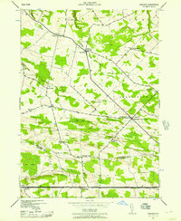
1943 · Carlisle
USGS Topo · 1:24,000