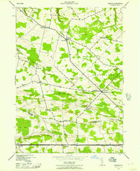
1943 Map of Carlisle
USGS Topo · Published 1957About this map
The Cherry Valley Turnpike anchors the southern boundary of this 1943 survey, marking a primary travel corridor through the towns of Root, Charleston, and Carlisle. The landscape is a network of small upland settlements and rural intersections like Rural Grove, Currytown, and Charleston Four Corners. This era reveals a high density of local infrastructure, specifically numerous one-room schools such as School No. 11, Hamilton School, and the Bonesteel Sch, many of which were the civic hearts of these small farming communities.
Find a feature on this map
33 named features on this map. Tap any name to fly to it.
Don’t see what you’re looking for? This feature index may not catch every label — zoom into the map to look around manually.
Map Details
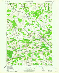
Editions of this 1943 Carlisle Map
2 editions found
Other maps of this area

1896 · Fonda
USGS Topo · 1:62,500

1898 · Fonda
USGS Topo · 1:62,500

1898 · Canajoharie
USGS Topo · 1:62,500

1898 · Schoharie
USGS Topo · 1:62,500

1900 · Canajoharie
USGS Topo · 1:62,500

1900 · Schoharie
USGS Topo · 1:62,500

1900 · Schoharie
USGS Topo · 1:31,680

1902 · Canajoharie
USGS Topo · 1:62,500

1902 · Fonda
USGS Topo · 1:62,500

1904 · Richmondville
USGS Topo · 1:62,500